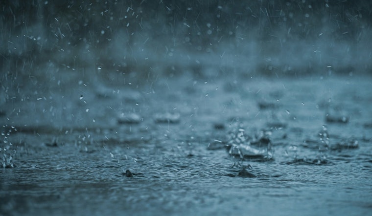
Washington D.C. residents may want to keep an umbrella on hand over the coming days as the latest forecast has predicted a damp outlook. According to the National Weather Service, there's a possibility of rain starting this afternoon, with chances of rainfall increasing significantly into the weekend. With overcast skies, folks should expect to see a high near 60 degrees during the day, turning to patchy fog and lows around 43 degrees tonight.
Furthermore, the forecast sets Thursday to be wetter, featuring rain after 1 p.m. and patchy fog in the morning hours. The forecasted high is near 49 degrees, with calm winds picking up from the east. Come nighttime, rain is almost certain, carrying a 90% chance of precipitation, and with east winds persistently blowing at 5 to 7 mph.
The NWS has also issued a Hazardous Weather Outlook for the Chesapeake Bay and inland waters, as well as the I-95 corridor through central Maryland, northern Virginia, and the District of Columbia. Today, there was a Dense Fog Advisory in effect for northern Maryland, which lasted until 10 a.m., bringing areas of dense fog to parts of the region during the morning.
Looking further ahead, the outlook suggests a slight winter storm threat looming for Sunday into Sunday night, which could result in possible travel disruptions. As the weekend may bring a mix of rain and snow, it serves as a reminder for travelers and commuters to stay alert and prepare for potentially slippery roads. Residents in the District and surrounding areas should monitor the situation as the weekend approaches. While spotters are not expected to be activated at this time, it remains pivotal to keep abreast of weather updates.


