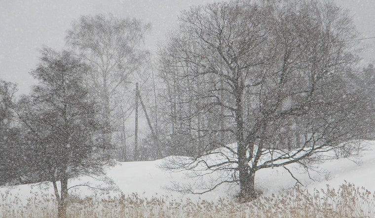
Boston woke up Monday, February 23, 2026, to the kind of winter wallop that shuts a city down. Under an official Blizzard Warning, snow and freezing fog are combining to create near-whiteout conditions and rapid accumulation. Temperatures are hovering near 30°F, and the city is on track to see roughly 11–17 inches of snow, with even higher totals possible along the South Shore and Cape.
What To Expect This Morning
The heart of the storm is expected Monday morning, roughly between 5 a.m. and 11 a.m. Intense snow bands could drop 2–3 inches per hour, and visibility may fall to near zero. North winds are forecast to gust into the 40–60+ mph range onshore, turning streets and sidewalks into a mess for anyone trying to move around.
The heaviest snow should gradually shift from west to east through the afternoon, with the major snow shield moving offshore by around 7 p.m. For the latest forecast details and active warnings, check the NWS Boston/Norton.
City Orders And Coastal Risks
The City has declared a snow emergency and a parking ban that went into effect Sunday at 2 p.m. Vehicles left on posted snow routes risk both ticketing and towing, so residents who have not moved their cars are gambling with their wallets.
Along the shoreline, high tides paired with strong onshore winds could trigger splashover and pockets of coastal flooding on low-lying roads and waterfront areas through early Monday morning. For specifics on emergency rules, where you can and cannot park, and how enforcement is being handled, see the Boston Police.
Transit, Schools And Travel
Boston Public Schools are closed Monday, turning the snow day into an unexpected long weekend for students. The MBTA is running on reduced, Sunday-level service, which means longer waits and likely delays across the system. Anyone who does try to travel should be ready for significant disruptions.
Officials are urging residents to avoid nonessential trips and to move vehicles off low-lying roads so plows and emergency crews can get through. For a broader rundown of closures and service changes tied to this storm, revisit our earlier coverage on the nor'easter poised to bury Boston in snow.
Safety, Power And What Comes Next
The combo of heavy, wet snow and strong, damaging wind brings a real risk of downed branches and power outages. Utilities have staged crews in advance, but any repairs will have to wait until conditions are safe enough for workers to be out.
If you lose power, you can call 2-1-1 for information on warming centers and check for updates before heading anywhere. Officials say travel should be limited to emergencies only. If you end up stranded, the guidance is to stay with your vehicle rather than trying to walk for help in near-zero visibility.
Cleanup and plowing are likely to stretch well into the week as crews focus first on major roads, then work their way into side streets and neighborhood blocks. For more detailed meteorological information and safety guidance as the storm evolves, follow updates from the NWS Boston/Norton.


