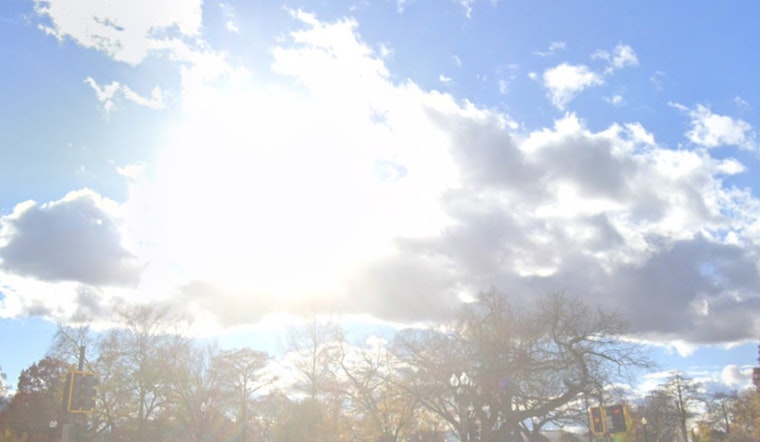
Clear skies and mild temperatures greeted Phoenix this morning, with about 57°F recorded at Sky Harbor Airport. That calm weather will give way tonight as a Pacific storm moves in, shifting winds and bringing chances for showers and brief thunderstorms across the Valley.
Evening Showers And Strong Gusts
Showers and a chance of thunderstorms are expected Monday evening into Tuesday morning, with the best chance after about 5 p.m. Valley rain totals should stay on the lighter side, generally under a quarter inch, although foothills and higher terrain northeast of the city could pick up more. South-southwest winds will crank up this afternoon and into the night, with gusts commonly 25–35 mph and advisory-level gusts up to around 40–45 mph possible in spots. Residents should secure loose outdoor items and be ready for brief visibility drops in heavier showers, according to the National Weather Service Phoenix.
Timing And Travel Tips
The bullseye for the heaviest downpours is overnight, so build in extra time if you are on the road late Monday or very early Tuesday. A cold frontal passage around midnight may kick up sudden gusts that could affect freeway driving and high-profile vehicles, so tie down patio furniture and avoid unsecured loads. For background on the warm weekend that set the stage for this change, see our sun-soaked weekend warmup.
Midweek Cool Down
Tuesday will feel noticeably cooler, with highs generally in the upper 60s to around 69°F as drier air filters in. Another disturbance may clip northern Arizona on Wednesday, keeping it breezy with additional shower chances over the high country and mountain snow at the highest elevations. Temperatures are expected to stay below normal through at least Friday, as reported by the National Weather Service Phoenix.


