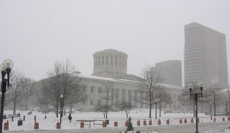
As the weather gears up for another active stint, the National Weather Service in Wilmington has updated the region on what's in store for Columbus, Cincinnati, Wilmington, and their surrounding areas. Brace yourself for a wintry mix as we steer into the weekend, with predictions signaling a dance of snowflakes and the shiver of frigid temperatures. The forecast discussion made available by the National Weather Service indicates that a clipper is set to cruise across the area on Friday, potentially layering the ground with light snow accumulations. For detailed regional predictions, residents can stay updated at the National Weather Service website.
In the discussion laid out by the NWS, it's detailed that an initial shortwave will precede the main event on Thursday, which might present itself as flurries or light snow by the evening. However, due to dry mid-level air, forecasters are treading gently on cementing this speculation into the official forecast. The subsequent shortwave is touted to be more robust, parading with a surface low pressure that's swooping in from Canada. This could mean Columbus has a "20-30%" chance of witnessing more than 2 inches of snow. With timing crucial, snowfall during the early hours of Friday could mean trouble for commuters with accumulations likely on the roads. But if the snow decides to grace the area later, the nearing freezing temperatures could lessen roadway woes.
Trailing the snow, a piercing wave of arctic air is predicted to bulldoze through, lowering the curtain on Friday night. "Both Saturday and Sunday may feature periods with wind chills near or below zero especially during the morning hours," according to the forecast discussion by the National Weather Service. Even though it's expected that the winter bite will be brief, with more moderate weather on the horizon early next week, residents should prepare for a weekend where the outdoors may bear more resemblance to the inside of a freezer.
Aviation-wise, pilots and passengers looking up will have to navigate through some murky skies. The forecast extends a heads-up on MVFR (Marginal Visual Flight Rules) conditions continuing to mosey around the area. Following a day where occasional breaks might toss a bone to weary pilots and travelers, the coverage of MVFR ceilings is anticipated to thicken, once again, overnight. Northeast winds at 5 to 10 knots this morning will twirl more northerly as the day unfolds, ultimately calming to gentle southwesterlies by Thursday. The National Weather Service points out that "Light snow is possible Friday along with MVFR conditions," keeping the aviation community on a tentative footing.


