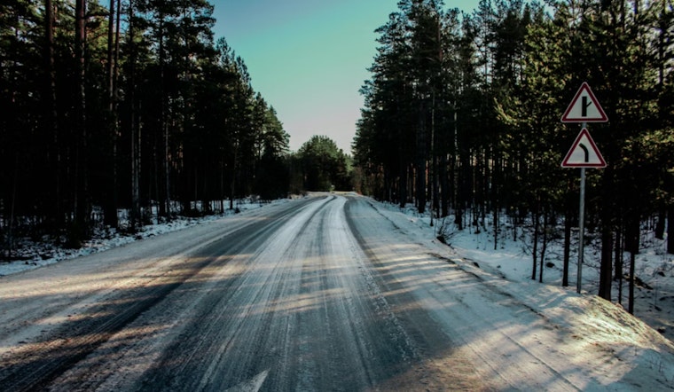
Boston woke up to a slick surprise Wednesday morning, as leftover moisture, calm winds and a cold ground teamed up to lay down pockets of black ice across the region. Logan Airport (KBOS) checked in with clear skies and temperatures around 34°F early on, but plenty of untreated roads, bridges and front steps may still be dangerously slippery for the morning commute. Skies are expected to brighten and temperatures should climb into the upper 40s by this afternoon, though another batch of mixed precipitation lurks for late in the week. Expect slower-than-usual trips on ramps, bridges and side streets, and build in a little extra time getting around this morning.
Morning Commute: Black Ice And Fog
Thin, nearly invisible ice and pockets of localized freezing fog are the main troublemakers for the early drive. Untreated sidewalks, overpasses and other elevated surfaces are especially at risk and could stay icy until mid-morning. Some inland and low-lying areas may hang onto low clouds and cooler temperatures longer, keeping things slick where snowmelt sits on stubbornly cold pavement. Winter weather advisories remain up for parts of the region until 7 a.m., and forecasters are urging extra caution for the first rush hour, according to the National Weather Service.
Thursday Night Into Friday: Rain And Freezing Rain Mainly North Of The Pike
A midlevel system is on track to bring plain rain Thursday afternoon, followed by a shift to freezing rain, sleet and some snow late Thursday night into early Friday. The best shot at frozen precipitation lines up along and north of the Mass Pike. Ensemble guidance points to roughly a 15% chance in lower elevations and up to about a 60% chance in higher terrain of at least 0.01 inches of ice, enough to make overnight travel hazardous. Precipitation should wind down Friday morning, leaving behind a raw, chilly day with highs in the 30s where the wintry mix hangs on.
This Weekend: A Big Warm-Up
High pressure builds back in over the weekend, bringing a notable warm-up. Highs are likely to reach the 50s on Saturday and push into the upper 50s or even 60s in many spots early next week. That quick thaw could juice up flows on smaller streams and leave sidewalks soggy, so anyone with outdoor plans should keep an eye on updates and steer clear of flooded low-lying areas if snowmelt speeds up. Expect it to turn breezy at times, especially along more exposed coastal stretches.
We covered Tuesday’s snow, slush and sneaky black ice and the early hazards, and we will update this space if advisories or timing change.


