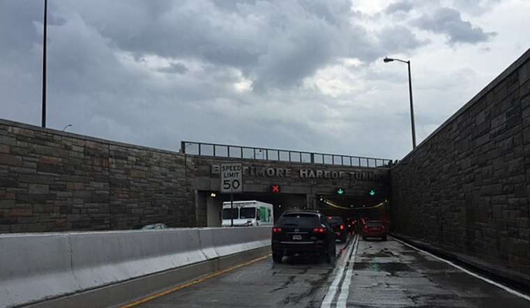
Baltimore woke up in a literal haze on Saturday morning, March 7, socked in by thick fog, temperatures in the low 40s, and visibility cut across parts of the city. Drivers can expect slower-than-normal trips on bridges and near the Inner Harbor as the marine layer hangs around through mid-morning.
Fog And The Morning Commute
A Dense Fog Advisory is in effect for Baltimore and much of the metro area until 10 a.m., with visibility potentially dropping to a quarter mile or less. Commuters are urged to allow extra travel time, stick with low-beam headlights, and be ready for sudden visibility drops on overpasses and near the waterfront, according to the National Weather Service.
Afternoon And Overnight
The fog is expected to lift as the day goes on, though mostly cloudy skies will keep highs near 53°F, with only a slight chance of light rain late this afternoon. Rain becomes more likely tonight, with lows near 52°F and temperatures then rising toward the low 60s overnight. Most areas should see only light totals, per the National Weather Service.
Sunday And The Week Ahead
Sunday turns noticeably milder, with a high near 71°F and a 50% chance of showers, and clearing expected from northwest to southeast during the afternoon. Monday and Tuesday are on track to be sunnier and warmer, with highs in the lower to mid 70s, before a strong cold front sweeps through midweek, bringing another round of rain and a sharp temperature drop into Thursday and Friday.
Boaters And Outdoor Plans
Small Craft Advisories are posted for portions of the Chesapeake Bay and nearby waters this evening, with choppier conditions and gusts near 20 knots expected in spots. If you have evening outdoor plans, bring a light rain layer and be prepared for brief downpours or an isolated thunderstorm, especially west of the city, where storms may be stronger.


_at_the_north_entrance_to_the_Baltimore_Harbor_Tunnel_in_Baltimore_City,_Maryland.jpg)