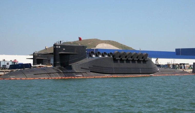
Chinese research ships and a growing web of ocean sensors have built out a far more detailed map of the seafloor across stretches of the Pacific, Indian and Arctic oceans, including areas close to Hawaii and key U.S. facilities in the central Pacific. For Honolulu, that kind of mapping is not just an academic exercise. Sharper charts and in-water sensors can change how submarines navigate, how they hide and where undersea systems get planted around island bases.
Dozens of Chinese research vessels and hundreds of buoys and subsea arrays have been working in zones such as waters near Guam, east of Japan, the approaches to the Malacca Strait and areas around Wake Atoll, with survey lines that reach into Hawaiian waters, as reported by the Honolulu Star-Advertiser. That reporting draws on more than five years of ship-movement data and university and government records that show repeated, lawnmower-style survey tracks by state-linked research ships.
Washington officials raise alarms
U.S. naval leaders have been telling Congress that seabed surveys and sensor networks should be viewed as strategic capabilities, not just science projects. In testimony to a congressional advisory commission, Rear Adm. Mike Brookes warned that expanded surveying and seabed sensors can “improve China’s ability to navigate, conceal and position undersea assets,” according to National Defense Magazine. His testimony urged stepped-up U.S. investment in wide-area sensing and tighter cooperation with allies to blunt that advantage.
How bathymetry sharpens the battlespace
High-resolution bathymetric charts let submarines use seafloor ridges, canyons and other features, along with ocean layers, to mask their movements. The same maps help planners decide where to place sensors or cables that can detect passage or block it. Earlier reporting on Chinese survey campaigns has laid out how ostensibly scientific voyages can generate data with clear dual-use military value, a dynamic examined in depth by The Washington Post. That technical edge is one reason naval analysts increasingly treat mapping itself as a central part of modern undersea strategy.
What it means for Hawaii and local planning
For island commands and civilian infrastructure managers in Hawaii, this shift is already in the “to-do” pile. Better maps and deployed sensors can alter routing choices for U.S. and allied submarines and raise the stakes for defending undersea cables and critical facilities. U.S. officials say they are expanding their own mapping efforts, and note that military vessels are typically allowed to operate without the civilian tracking systems that reveal most commercial ship movements, as reported by the South China Morning Post. Those competing efforts are already feeding into Pentagon planning and talks with regional allies.
Local commanders, lawmakers and ocean scientists in Hawaii will be watching to see whether the Pentagon speeds up sensor networks, boosts coordinated mapping with partners or leans harder on allied arrangements such as AUKUS and bilateral Pacific ties. In the near term, Honolulu’s strategic role means island planners have to factor a new generation of seabed charts into training, infrastructure protection and contingency planning.


_Class_Ballistic_Missile_Submarine.JPG)