Fog and mist hugged the Ohio River hills early Wednesday, March 4, with visibility at Lunken Field (KLUK) down to roughly a mile and temperatures stuck in the low 50s. Showers are on tap through the day and a Flood Watch is in place for the Tri-State through early afternoon, turning the morning drive into a crawl for many neighborhoods.
Rain Keeps Coming With Flood Watch Through Early Afternoon
The Flood Watch runs until 1 p.m. Wednesday, March 4, 2026, and forecasters say another 1 to 2 inches of rain could fall this morning, with some spots picking up heavier totals. The high should top out near 63°F, with light east winds around 1 to 5 mph and patchy fog hanging around until about midday. Any streets that already collect water are likely to see more ponding, and smaller creeks may keep rising, which bumps up the risk of flooded roadways, according to the NWS Wilmington.
Evening Storms Could Pile On More Rain
Many spots should catch a break in the steady rain this afternoon, but do not get too comfortable. Showers and thunderstorms are expected to fire back up this evening, with guidance favoring a 5 to 7 p.m. window for storm development on the western side of the metro. Additional rounds tonight and into Thursday could tack on another half-inch to three-quarters of an inch of rain, and forecasters note that soils are already saturated from recent wet weather. For more context on how this system has been unfolding, see soaking rains put low-lying streets at risk.
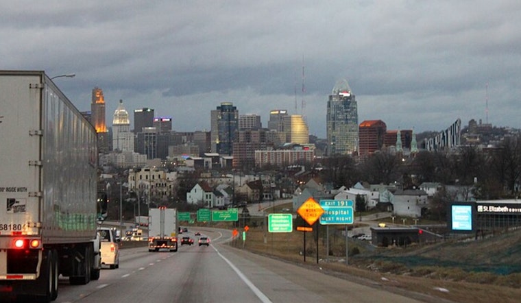
Commute Tips and Safety
Expect slower travel both during the morning rush and again this evening, especially when heavier downpours move through. Standing water and hydroplaning remain the main troublemakers. Do not drive through flooded roads; turn around and find another route, even if it adds a few minutes to the trip. Leave extra time for errands and school drop-offs, and keep an eye on watches, warnings and river levels with the latest updates from the NWS Wilmington before heading out.


