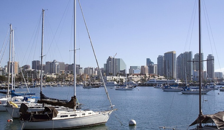
San Diego rolled out of bed today to a familiar coastal combo: low clouds, cool air, and a stubborn marine layer hanging over the shoreline, even as inland neighborhoods get ready to heat up again. Skies were cloudy at Lindbergh Field with temperatures near 63°F, but the gray is expected to burn off into mostly sunny afternoons. Look for highs in the 70s at the beaches and in the low 80s inland as the week progresses.
Afternoon Temperatures
Highs should reach about 75°F along the coast on Tuesday and bump up to around 78°F tomorrow, with inland valleys pushing into the low 80s by Thursday and Friday. Winds will stay light, generally under 10 mph, so it will feel noticeably warmer the farther you get from the water. There are no watches, warnings or advisories in effect, according to the National Weather Service.
Foggy Mornings, Sunny Afternoons
Patchy low clouds and coastal fog are expected to fill shoreline neighborhoods and western valleys from the pre-dawn hours through mid-morning, typically clearing by late morning into sunny afternoons. That steady onshore pattern will keep beachside temperatures milder, while inland areas warm quickly, so morning commuters on coastal routes may encounter reduced visibility and should build in a little extra time.
Where This Fits In
This stretch of above-average warmth is the latest in a pattern that already produced multiple March temperature records earlier in the month. If you are planning to be outside, consider shifting strenuous activity to the cooler morning or evening hours, stay hydrated, and keep an extra layer handy if you are sticking close to the coast.


