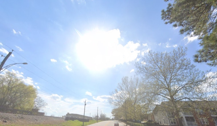
Washington is starting Thursday on the mild side, with mostly cloudy skies and temperatures hovering in the mid-50s (around 54°F). It will not stay that way for long: a quick warm-up is on tap, with afternoon highs set to surge into the upper 70s under a warm southwest breeze, as per the National Weather Service.
Afternoon Warmth and Gusty Southwest Winds
By mid-to-late afternoon, skies should turn mostly sunny and temperatures are expected to peak near 78°F. Southwest winds around 8 to 14 mph could gust up to 22 mph, enough to shove around lightweight lawn furniture and trash cans. The steady southwest flow will keep readings well above what is typical for late March, according to the National Weather Service.
Cold Front, Rain and Commute Concerns
A strong cold front will sweep through this evening into Friday, bringing a chance of showers and some thunderstorms, followed by a period of steadier rain Friday morning into the afternoon. The National Weather Service expects a general quarter to half inch of rain across much of the region, with locally higher totals inland. Lower clouds and wet runways could mean delays at local airports during the Friday morning commute.
Boaters, Weekend Chill and Next Week
Small Craft Advisories are posted for area waters through early this morning and then again from this afternoon into tonight, so boaters on the Potomac and Chesapeake should brace for choppy, gusty conditions. Behind the front, cooler air settles in: Saturday turns brisk, with highs only in the upper 40s despite mostly sunny skies. Temperatures start to rebound on Sunday and continue to climb into next week, with another warm spell possible by midweek.


