Washington, D.C., starts the week under a gray sky, with Monday morning temperatures in the mid-50s (around 55°F) at Reagan National Airport and scattered rain showers lurking for the late-morning commute. South-southwest breezes are already on the move, setting up a week that shifts quickly from damp and blustery to unusually warm by midweek.
Morning Showers And Gusty Winds
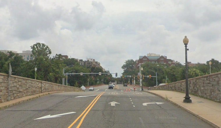
Scattered rain showers are expected after about 7 a.m., with roughly a 40 to 50 percent chance through the afternoon and new rainfall amounts generally under a tenth of an inch. Southwest winds around 10 to 15 mph, with gusts near 20 to 25 mph, will leave bridges and exposed roads feeling windier than the thermometer suggests, according to the National Weather Service.
Big Midweek Warm-Up
Temperatures jump into the low 80s on Tuesday and into the mid 80s on Wednesday, levels that could approach or tie daily records at some local climate sites. That warmth arrives ahead of a front that will boost the chance for showers and thunderstorms Wednesday afternoon and evening. Most storms should be brief, but any stronger cell could bring gusty, damaging winds.
Boaters should note a Small Craft Advisory is in effect for parts of the Chesapeake and Potomac through Monday evening, with choppy water and gusty conditions likely. Commuters may want to grab an umbrella and budget extra time for wet roads and gusty crosswinds on bridges. For more background on this pattern and how it could evolve, check out our earlier coverage of the near-80 warm-up before storms roll in.


