Atlanta wakes up Monday to mostly cloudy skies, muggy air and temperatures hovering near 66°F, but the mild start is a fake-out. A fast-moving line of storms is expected to roll through during the morning commute and set the stage for a much colder night.
Morning Severe Risk
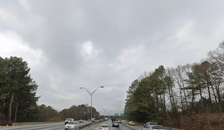
Showers and thunderstorms are likely across the area through the morning hours, and the National Weather Service warns that some storms could become strong to severe with damaging wind gusts and a small chance of a tornado. According to NWS Peachtree City, the strongest cells could produce brief heavy downpours and downburst winds in the 35 to 40 mph range as the line marches east, with the main threat ending from northwest to southeast around midday. If a warning pops up during your drive, be ready to quickly move to sturdy shelter.
Afternoon Cooling And Spotty Wintry Flurries
Temperatures will drop sharply behind the front, with highs near the upper 50s falling into the low 40s by afternoon under strong west to northwest winds. Areas along and north of I‑85 could see a few brief snow showers or flurries from late morning into the afternoon, but any accumulation is expected to stay on grassy or elevated surfaces and should melt quickly while road surfaces remain warm. Gusty winds will make it feel colder than the thermometer suggests, and travel could be rather blustery for a time.
Freeze Warning Tonight
A Freeze Warning goes into effect at 11 PM Monday and lasts into the Tuesday morning commute, with widespread lows forecast to fall into the 20s and overnight wind chills dipping into the teens. Protect tender plants and vulnerable outdoor plumbing, since wrapping exposed pipes, draining irrigation lines or allowing an outdoor faucet to drip can help prevent freeze damage and burst pipes. The cold snap follows a recent stretch of unseasonably warm weather, so gardeners and anyone with outdoor equipment should take precautions before heading to bed.
Commute And Quick Tips
The most immediate trouble will be during the morning commute, with sudden downpours, gusty winds that can toss unsecured objects and the chance of brief localized flooding where the heaviest rain falls. The whiplash from warm to cold follows earlier warmth in the week; for more on that late week warmup check the background coverage. If you have outdoor plans tonight, move plants indoors, secure patio furniture and give any exposed pipes a quick check before the freeze settles in.


