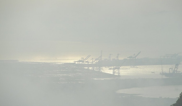
Oakland and much of the Bay Area are starting today socked in by thick fog, with temperatures parked in the low to mid 50s. Patchy dense fog is expected to hang around until about 10 AM, followed by mostly cloudy skies and a cool afternoon high near 64°F. Light southwest winds will keep things on the chilly side through the day.
Morning Commute
Low visibility could make for a tricky drive on bridges and in low-lying corridors, especially on the Bay Bridge approaches and along I-80. If you are heading out, plan for extra time, slow it down, stick with low beams in the fog, and be ready for sudden pockets of denser fog on ramps and surface streets.
Rain Tonight Into Monday
A weak low-pressure system will slide across Northern California tonight until tomorrow and may squeeze out a little rain. The slight chance of light showers is mainly focused on the North Bay and Pacific Coast between about 10 PM tonight and 2 AM tomorrow. New rainfall totals should stay under one-tenth of an inch, and the overall chance of measurable precipitation is around 20 percent, according to NWS San Francisco.
Midweek Outlook
From the middle to the end of the week, a stronger offshore pressure pattern is expected to set up, which could bring gusty northerly to northeasterly winds along with warmer, drier days. Inland highs may climb into the mid to upper 70s by Friday or Saturday. Forecasters also flag potentially hazardous marine conditions late in the week, with northwest winds picking up and seas building above 12 feet in spots.
What To Watch
Boaters and ferry riders should keep an eye on marine advisories before heading out later in the week, especially as winds and seas ramp up. Drivers should budget extra time in the fog this morning. If those late-night showers do show up, expect just a light wetting of the roads rather than a soaking downpour.


