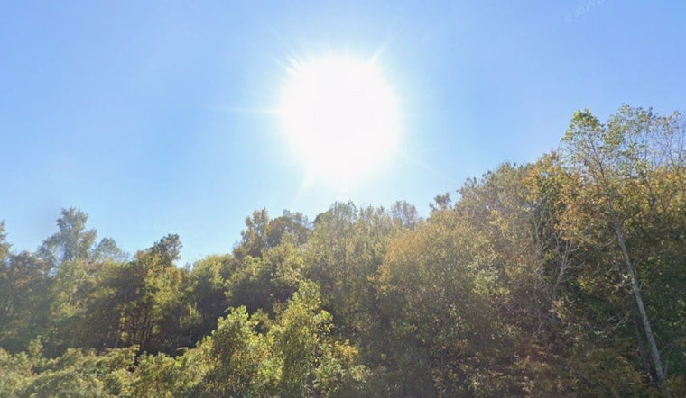
Tuesday, March 31, 2026, started crystal clear in Raleigh, with early temperatures in the mid‑50s and a fast climb toward the low 80s by afternoon. Mostly sunny skies will make it feel solidly springlike, but the combo of gusty southwest winds and very dry ground means any fire could spread quickly. A statewide ban on open burning remains in effect, so this is not the day for backyard brush piles or makeshift fire pits.
Afternoon Winds Turn Up The Risk
Expect a high near 81°F with southwest winds around 6 to 10 mph and gusts up to 18 mph this afternoon. That will make yard work a bit breezy, and it is exactly why the National Weather Service has issued special weather statements for elevated fire danger across central North Carolina. In these conditions, a single small spark can turn into a fast‑moving fire, so if you are outside, keep a water source close and skip anything that could throw off embers.
Rethink Outdoor Chores
If your to‑do list included raking, burning brush, mowing over dry grass or using tools that throw sparks, plan to move those tasks to a wetter day or a safer time. Avoid parking cars on dry grass or leaf litter, and use gas grills instead of open wood fires where they are allowed. Morning walks, light gardening and other low‑risk outdoor activities are fine, as long as you stay aware of increasing wind and loose debris later in the day.
Burn Ban Comes With A Price Tag
The N.C. Forest Service has a statewide open burning ban in place, effective 6 p.m. on March 28, 2026, and has stopped issuing new burn permits, according to the N.C. Department of Agriculture. Violating the ban can bring a $100 fine plus $183 in court costs, and anyone who starts a fire that escapes could be billed for suppression costs. Local fire marshals and law enforcement are backing up the effort to keep accidental fires from getting out of control.
Warm Stretch Before Cooler Change
Temperatures stay warm through Saturday, with highs in the low to mid‑80s and mainly dry afternoons. Better chances for showers and thunderstorms move in Sunday night into Monday as a front comes through, bringing cooler air and highs closer to the mid‑60s on Monday. Forecasters will be watching for any shifts in timing or wind that could change the fire danger heading into the weekend.


