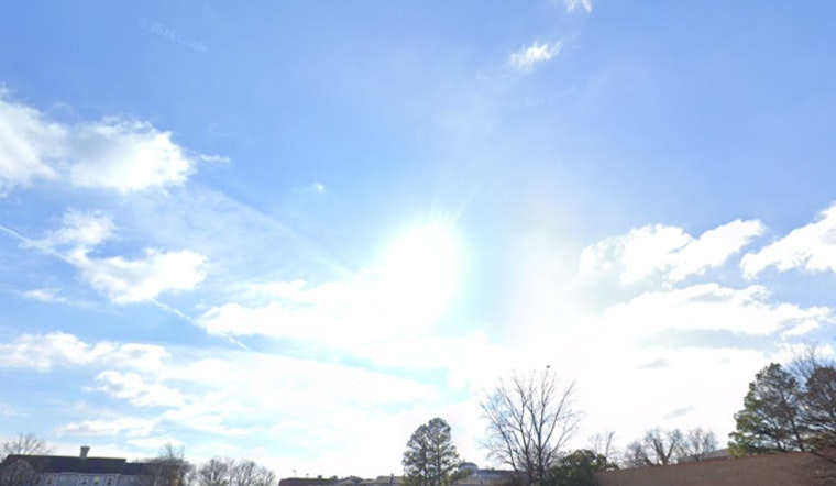
Sacramento is starting the week on a friendly note, with clear skies, a mild 54°F early this morning, and a light south-southeast breeze. That calm setup will deliver a warm afternoon near 82°F, a solid excuse for lunch outside or a late-day walk. Just do not get too attached to the sunshine, because the weather story changes fast later this week.
Afternoon Heat Before the Cooldown
Highs this afternoon will climb into the low to upper 80s, warmest across the central and southern Sacramento Valley. Then the atmosphere flips the script. A Pacific trough arrives on Tuesday, March 31, 2026, pulling daytime highs back into the upper 60s and introducing a chance for light rain. By Wednesday, April 1, 2026, rain becomes more widespread and temperatures cool further, with mountain snow and breezy southerly winds moving in, according to NWS Sacramento.
Rain, Sierra Snow and Gusty Midweek Winds
Light showers in the Valley are expected Tuesday into early Wednesday, with most spots picking up under a tenth of an inch of rain, although a few localized heavier bursts are possible. In the higher elevations, snow levels sit near 6,500 feet on Wednesday before slipping to about 5,000 to 6,000 feet on Thursday. Around 4 to 6 inches of snow is expected above 6,000 feet, with higher totals on the peaks. Southerly winds will kick up on Wednesday, with gusts of 25 to 35 mph across the Valley and 35 to 45 mph in the mountains, strong enough to toss around unsecured yard items and knock down tree limbs.
Commute Impacts and Prep Tips
Drivers should plan for slower morning and evening commutes Tuesday and Wednesday as wet roads and gusty winds move in. Extra travel time, more space between cars, and slower speeds on slick pavement will go a long way. Around the house, secure patio furniture and other loose items that might become airborne in stronger gusts, and avoid parking under large trees when possible. For preparedness tips and more local storm guidance, check Sacramento County.
Storm Moves Out, Weekend Shapes Up
The midweek system exits by Thursday, allowing conditions to dry out and warm up again on Friday and into the weekend. Highs rebound into the mid to upper 70s and low 80s Saturday and Sunday, setting the stage for a much sunnier and more comfortable finish to the week.


