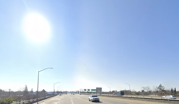
Sacramento started Tuesday on the crisp side, waking up to clear skies and a cool 48°F. By afternoon, most of the city can expect mostly sunny skies and a high near 72°F. Light west-northwest winds should stay on the mild side, so running errands or squeezing in a quick walk will feel pretty pleasant. Tonight will turn cooler again, with lows sliding into the mid 40s before a more serious warm-up kicks in later this week.
Midweek Warm-Up And Minor Heat Risk
A broad ridge of high pressure is set to build over Northern California, sending Sacramento highs into the upper 70s on Wednesday and into the low 80s on Thursday and beyond. Forecasts hint that readings could reach the upper 80s by next Monday. According to the NWS Sacramento, temperatures will run well above normal starting Thursday, with a return to Minor HeatRisk across parts of the Valley. Forecasters also remind anyone heading for local rivers or lakes that the water is still cold, even when the air is warm, so extra caution is advised.
Impacts And Safety Tips
For most people, mid 80s weather feels pretty comfortable, but older adults, infants and anyone working outside should take it seriously. Drink plenty of water, take breaks, limit heavy exertion during the hottest part of the day and grab shade or air conditioning when you can. Sacramento County offers detailed heat safety guidance and opens cooling centers during more severe heat emergencies. You can call 2-1-1 or check local listings for locations and hours. If your plans include rivers or lakes, remember that water temperatures warm up more slowly than the air and can still create a cold-water shock risk on what feels like a hot day.
Bottom Line
Sun rules the sky on Tuesday, with a clear warming trend through the rest of the week. If you are sensitive to heat, try to schedule outdoor plans for the morning or evening. Expect more updates if the NWS bumps up heat impacts or issues any advisories in the days ahead.


