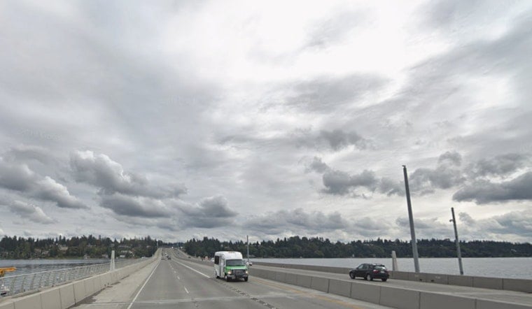
Seattle is waking up to a gray, damp vibe this Sunday morning, March 29, 2026, with clouds overhead, temperatures hovering around 43°F, and a light east-northeast breeze. A band of rain is on the doorstep and set to roll in by midmorning, lining up a wet ride for anyone heading out.
Afternoon Rain And A Wet Commute
Rain is expected to push inland after about 8 a.m. Sunday, March 29, 2026, with highs near 47°F and a strong chance of steady precipitation. Plan on a light but consistent soaking, roughly a tenth to a quarter inch across the lowlands. Southwest winds should stay on the mild side at 2–8 mph, with temperatures sliding into the mid-40s by late afternoon. These timings and rainfall amounts are from the National Weather Service Seattle.
Evening Into Monday
Sunday evening into the overnight hours turns cooler as the system moves through. Rain is likely before 8 p.m., and there is a brief window, roughly 8–10 p.m., when the foothills and mountain passes could see rain mix with snow. Lowland lows will dip to around 33°F overnight. For local context on mountain impacts and travel, see soggy commutes as Cascade snow cranks up.
Marine And The Week Ahead
Small Craft Advisories are expected for the outer coastal waters and the northern inland waters later Sunday into Monday, with seas building into the 8–10 foot range and another stronger system lined up for Wednesday, April 1, 2026. Northwesterly winds will pick up briefly tonight before easing Monday and Tuesday, then climb again midweek as the next low arrives. Boaters should check the latest marine statements from the National Weather Service Seattle before heading out.
What To Do
Plan on a wet commute today and give yourself a little extra travel time. Slow down on slick roads and keep the headlights on. If you are heading into the Cascades, bring traction devices, and keep in mind that Seattle may flirt with freezing on the mornings of Monday, March 30, and Tuesday, March 31, 2026.


