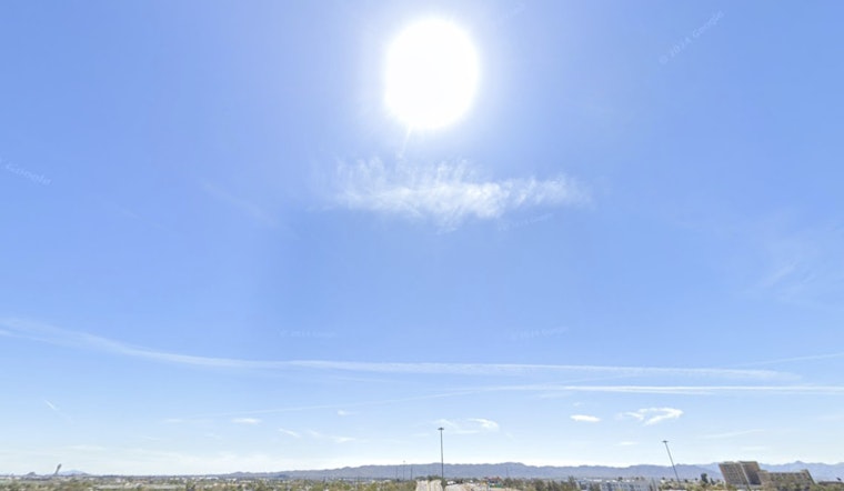
Sky Harbor started off around a comfortable 63°F this morning, but Phoenix is heading for a sun-soaked high near 92°F this afternoon with light northeast breezes and a low near 61°F Thursday night. With strong sun and very low humidity, the afternoon will feel hotter than the numbers suggest.
A ridge of high pressure building over the Southwest will keep daytime highs in the low 90s through Friday and hold readings in the 90s into the weekend. The National Weather Service expects triple-digit highs by Tuesday, with guidance pointing to highs near 100°F on Tuesday and around 102°F by Wednesday, potentially breaking daily and even monthly records across the lower deserts. Winds stay mostly light, so the headline is the rapid and sustained warmup.
Heat Risk And Where To Cool Off
Forecasters call for a widespread Minor Heat Risk through the weekend, rising to Moderate next week as temperatures climb above 100°F. That raises the danger for older adults, young children and anyone working outside during the hottest hours.
The City of Phoenix is running 24/7 respite and extended-hours cooling centers, including a 24/7 location at 20 W. Jackson Street and services at Justa Center at 1001 W. Jefferson St. If you do not have reliable air conditioning, shift strenuous activity to early morning or evening and track down your nearest cooling site before the real heat sets in.
Outdoor Plans And Fire Danger
Afternoons will stay very dry, with minimum humidities near or below 10% and only modest overnight recovery. That combination means elevated fire danger and a higher risk from sparks. Winds should be on the lighter side, but afternoon gusts could reach about 20 mph, so anyone planning yard burning or spark-producing work should hold off. Keep pets in the shade, keep people hydrated and time outdoor fun for cooler hours.
Bottom line: enjoy the clear skies, but treat the coming week like a serious heat event. Aim to finish outdoor tasks before 9 a.m. or after 7 p.m., carry water, check cooling center hours if you need a break from the heat, and keep an eye on updates from the National Weather Service and city resources for the latest forecasts and heat-risk alerts.


