

























































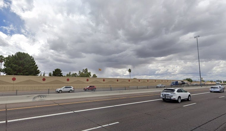
Phoenix is starting Wednesday, August 12, under mostly clear skies and temperatures around 88 degrees, but the calm will not last. The Valley is headed for a high near 100 degrees before showers and thunderstorms become more likely late this afternoon and evening. Storm chances continue overnight, with some activity lingering into Thursday morning.
Storms Arrive Late Wednesday
The National Weather Service says storms should first build over higher terrain before spreading into parts of the lower desert by early evening. The strongest concern is north and east of Phoenix, where storms could produce sudden gusty winds, brief heavy rain and localized flooding. Some rainfall rates could reach 1 to 2 inches per hour.
A Flood Watch is in effect from late Wednesday afternoon through tonight for Gila County, far northern Pinal County and northeast Maricopa County. Downtown Phoenix is outside the listed watch area, but storms can still create fast-moving runoff and hazardous driving conditions across parts of the Valley, so outdoor plans and evening commutes may need a backup plan.
Cooler Through Friday, Then Heat Roars Back
Thursday should remain relatively subdued compared with the overnight storm period, with sunny skies, a high near 99 degrees and only a slight chance of an afternoon shower or thunderstorm. Friday looks mostly sunny and near 100 degrees as drier air moves back in.
The brief cooldown ends over the weekend, with highs climbing to about 104 degrees Saturday and 108 degrees Sunday. Monday could reach 110 degrees under sunny skies, bringing the familiar Phoenix combination of relentless afternoon heat and little overnight relief.





