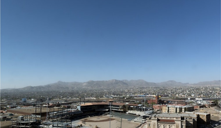
El Paso is feeling a whole lot more like June than late March. Under clear skies Tuesday morning, March 24, temperatures started near 55°F at El Paso International Airport (KELP) and are set to rocket toward the low 90s by afternoon, with a high near 93°F. That early-season heat is not a one-day stunt either, as low to mid-90s are expected to stick around through Thursday. Low humidity and strong sun will keep afternoons feeling extra dry and will quickly ramp up heat exposure for anyone working or exercising outside.
Afternoon Heat And Fire Weather
The National Weather Service reports that a strong ridge of high pressure will push lowland highs roughly 20–25 degrees above normal through the week, putting daily March records on the table. Afternoon relative humidity is forecast to tumble into the single digits in parts of the region, stretching out burn windows and raising fire-weather concerns. Winds should stay relatively light today and Wednesday, but a passing disturbance is expected to bump up afternoon gusts on Thursday into the 15–20 mph range, according to NWS El Paso.
How To Stay Comfortable
Hydration and timing are key. Carry water, look for shade during the hottest part of the day, and try to avoid strenuous outdoor work from about noon to 6 p.m. If you or someone you know is especially vulnerable to heat, the City of El Paso posts cooling center locations and activation details on its preparedness pages, so check those listings before heading out. For quick errands, wear light, breathable clothing, reapply sunscreen, and keep a close eye on pets, since car interiors and pavement can heat up alarmingly fast.
Friday Front, Dust, And Next Week's Rain Chance
A backdoor cool front is slated to arrive Friday, March 27, bringing gusty east winds and a risk of blowing dust that should knock daytime highs back into the upper 70s to low 80s. After nearly three weeks of dry weather, the pattern starts to shift late this weekend, with the first meaningful chance of rain returning Sunday night into early next week. The National Weather Service notes that showers from late Sunday into Tuesday could deliver the first measurable precipitation across much of the area since early March, so anyone planning outdoor events should keep an eye on updated forecasts.
Bottom line: unusually warm and very dry weather hangs on through Thursday with elevated fire-weather potential Thursday afternoon, followed by a gusty and possibly dusty cool-down Friday and a modest shot at showers by the end of the weekend. Keep water handy, schedule outdoor activities for the morning when you can, and double-check forecasts before using open flames or attempting any yard burns this week.


