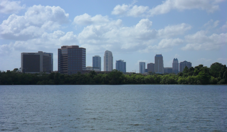
Orlando is starting Tuesday, March 24, on a calm note, with clear skies and temperatures hovering around 64°F. That tranquil setup will not last. A weakening cold front is sliding in and is expected to flip the script by afternoon, bringing more clouds and a shot at showers and isolated thunderstorms across the metro area.
Afternoon Storms And Gusty Winds
Showers and isolated thunderstorms are most likely to pop up after 1 p.m. Tuesday, March 24. Before the weather turns choppy, the high should reach near 82°F, with readings slipping back into the upper 70s by late afternoon. North-northwest winds will ramp up to around 5 to 15 mph, with gusts near 20 mph. Any stronger storm could briefly dump heavy rain, toss out frequent lightning, and kick up gusty outflow winds. That is all in the latest local forecast from NWS Melbourne.
Coastline Hazards And Boating Conditions
The Space Coast is where things get particularly dicey. Volusia and northern Brevard County beaches are under a High rip-current risk on Tuesday, March 24, and going into the surf north of Cape Canaveral is strongly discouraged. Small Craft Advisories begin this afternoon for portions of Volusia and Brevard coastal waters, with seas building to 7 to 13 feet north of Sebastian Inlet this evening and 6 to 10 feet spreading south into Wednesday morning. For the full rundown of marine zones and advisory details, check the NWS marine forecasts.
What This Means For Plans
If your Tuesday game plan involved the beach, it may be time for a backup option or at least a more cautious approach. Stick close to lifeguarded areas, heed posted flags, and follow the guidance of lifeguards and beach officials, who are urging people to stay out of the water where high rip-current flags are flying.
Inland, the afternoon commute could get sloppy, with brief heavy downpours slicing through visibility and gusty crosswinds nudging vehicles around. Building in a little extra travel time, slowing down in heavy rain, and securing loose outdoor items before storms form would not be overdoing it.
Looking Ahead
Drier weather is expected to return on Thursday, March 26, before another front swings in on Saturday, March 28, bringing back shower chances and breezier conditions into the weekend. Highs should land in the low to mid 80s on Friday, followed by a modest cooldown late Sunday and into next week.


