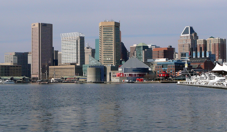
Baltimore woke up to a wall of gray on Thursday, March 5, 2026, as thick fog and spotty showers moved in just in time for the morning rush. A Dense Fog Advisory is in place across much of the region through 10 a.m. EST. Temperatures are in the mid 40s to start and should climb into the mid 50s by afternoon, but the stubborn fog and light rain are expected to drag on long enough to gum up commutes.
Fog And The Morning Commute
Visibility has dropped to around a quarter mile in many low-lying neighborhoods and along river valleys, which makes bridges, ramps, and interchanges particularly dicey. The National Weather Service says the Dense Fog Advisory runs until 10 a.m. EST and is urging drivers to stick with low beams, ease off the gas, and leave extra room to stop.
Why It’s Stuck
This gloomy setup is tied to a classic late-winter cold-air-damming pattern that keeps cooler air banked up east of the Appalachians while milder air tries to push in from the south. For more on the stalled front behind this gray stretch and the slow warm-up ahead, see Baltimore wakes in a fog.
Showers Tonight And Weekend Outlook
On-and-off showers are likely through the day, with a better shot at steadier rain and a few thunderstorms late Thursday into tonight. The National Weather Service forecast discussion calls for highs near 56°F today and a low around 44°F tonight. An additional quarter to half inch of rain is possible tonight, and forecasters also flag a Marginal Risk of gusty thunderstorms on Saturday for areas west of the Blue Ridge.
Quick Tips
Plan on a slower ride this morning. Build in extra time, use low-beam headlights in the fog, and keep an eye out for ponding on roads during heavier showers. On the water, boaters on the northern Chesapeake and tidal Potomac should be especially cautious, since the thick fog is cutting visibility and making navigation tricky.


