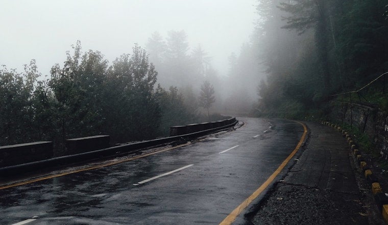
St. Louis is waking up to a soggy, low-visibility kind of morning, with heavy rain and dense fog blanketing the metro and temperatures hovering near 61°F. Thunderstorms that fired up overnight are likely to hang around through much of the morning commute before easing from northwest to southeast. Drivers should be ready for slick roads and occasional lightning until storms finally move out later today.
Morning Commute: Slick Roads and Lightning Risk
Showers and thunderstorms are expected through midmorning, and some storm cells could dump brief but heavy downpours with frequent lightning. That combo can knock down visibility and create standing water in a hurry. The main line of storms will gradually push east and south, but scattered showers may linger into the afternoon. For up-to-the-minute guidance on how it unfolds, check the forecast from the NWS St. Louis office.
Afternoon Winds Pick Up
Behind a cold front, winds swing around to the northwest and pick up speed this afternoon, with sustained breezes and gusts up to about 29 mph. That is enough to bring down small limbs or send unsecured lawn furniture scooting across the yard. Temperatures will tumble from the 60s into the upper 40s by late afternoon, so expect a noticeable chill once the rain starts to taper. An earlier advisory published yesterday outlined the timing and wind threat for the area.
Clearing Tonight, Cooler Thursday
Skies are expected to clear tonight, with lows dipping into the low 30s. Thursday looks sunnier, with a high in the mid-50s as drier air settles in over the region. Northwest gusts this evening should ease overnight, which will help travel conditions improve. These trends are highlighted in the NWS forecast discussion for the St. Louis area.
Looking Ahead: Weekend Rain Then Late-Weekend Snow Chance
Warmer temperatures return late in the week, with highs near the 60s from Friday through Sunday. The next system, though, may bring rain on Sunday and a chance of rain mixing with snow Sunday night, as lows drop into the 20s. If you have outdoor plans this weekend, keep checking forecasts, since the type and timing of precipitation could change quickly as the system deepens.


