Sacramento is waking up to a clear, cool Sunday with morning temperatures in the mid-50s, but the calm start is not expected to last. Skies turn partly sunny with a high near 67°F on Sunday, March 1, and scattered showers and thunderstorms are on the table Sunday evening into Monday, March 2, especially north of the city, in the foothills and over nearby mountains.
Scattered Storms From Sunday Afternoon Into Monday
National Weather Service in Sacramento forecasters say storms are most likely Sunday afternoon and evening, roughly between 1 p.m. and 9 p.m. local time, and could linger into the overnight hours. The strongest cells may bring heavy downpours, frequent lightning and hail approaching one inch. Forecasters also note that isolated funnel clouds or a brief, weak tornado are possible with the most intense storms.
They have also flagged a Shasta County convergence-zone signature that could lead to locally higher rainfall rates and urban or low-lying flooding north of Redding. In other words, if you are up that way, the rain could stack up faster than you expect.
Afternoon Commute And Outdoor Plans
Through the afternoon, expect highs near 67°F with light south-southwest winds around 3-8 mph and only modest temperature swings. Any brief heavy rain could sharply cut visibility and create ponding on streets, so drivers should slow down, avoid flooded stretches and budget extra time for the evening commute.
If you have outdoor plans Sunday night into Monday, it is a good idea to move them indoors or at least have quick shelter handy for lightning and heavy rain. Mother Nature is not working around your dinner reservation.
Week Ahead: Warmer Days, Then Breezy
Once this system moves through, temperatures trend warmer, with highs returning to the upper 60s and low 70s later in the week and readings near 70°F possible by Friday, March 6. A quick round of light showers is possible Wednesday, March 4, before drier but breezy north-to-east winds develop Thursday through Friday, March 5-6, with gusts that could top 30 mph in some areas. Earlier coverage of the broader wet pattern laid out the bigger setup.
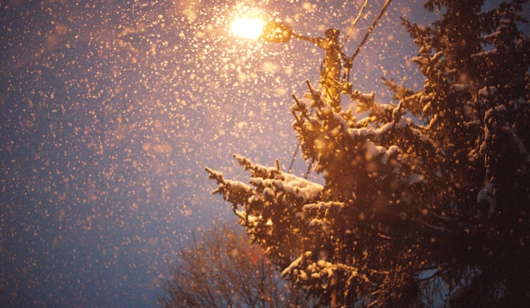
Mountain Snow And Safety Notes
Forecasters also expect very light mountain snow above about 6,000 feet late Sunday into Monday, with amounts generally under 2 inches at the highest peaks, so reconsider Sierra travel plans for the weekend if you were hoping for a low-stress drive.
Secure loose outdoor items, charge your devices, and keep an eye on local alerts and updates from the National Weather Service as conditions evolve.


