San Francisco is waking up to clear skies and temperatures in the mid-50s this morning, with a light northeast breeze setting a calm tone that will not last. Forecasters are calling for another warm, sunny day today, with highs near 766F across much of the city and interior neighborhoods running a bit warmer. By afternoon, winds will ramp up, with gusts in the upper teens to around 20 mph in exposed spots, so expect a noticeably breezy finish to the day.
Afternoon Winds Pick Up
Northwest to west winds are expected to strengthen through the afternoon and become most noticeable from about 2 to 6 PM. Sustained winds will generally run around 10 to 17 mph, with gusts pushing into the upper teens. Interior neighborhoods and higher elevations could reach the mid to upper 70s, while coastal areas stay cooler in the upper 60s to low 70s. Conditions should be a bit less blustery than Saturday, but there will still be enough wind to ruffle outdoor plans, especially near the water.
Foggy Nights, Sunny Days
A shallow marine layer is forecast to rebuild tonight into Monday morning, bringing low clouds or patchy fog back to the coast and bay adjacent neighborhoods. That could mean reduced visibility at SFO and other Bay Area airports during the late night and early morning hours. Forecasters see a moderate chance of restricted visibility overnight, so anyone with an early flight should keep an eye on airline status updates. Overnight lows will generally land in the low to mid-50s across the city.
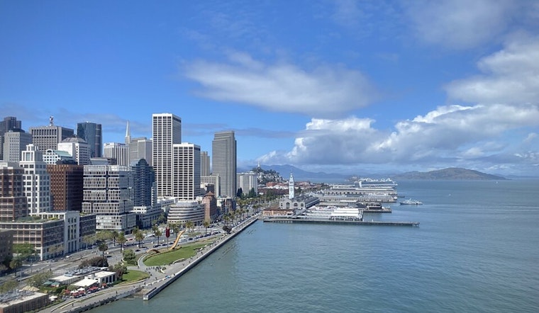
Marine And Boating Advisories
According to the National Weather Service, small craft advisories and gale warnings will impact portions of the bay and offshore waters from Monday into Tuesday, with rough to very rough seas and frequent gale gusts offshore. Boaters and ferry operators should prepare for choppy conditions and check the latest marine forecast before heading out. Onshore breaks and stronger gusts are expected along more exposed shoreline areas.
What To Expect This Week
A brief cool-down arrives Monday and Tuesday, with highs dipping into the mid-60s before a midweek warm-up brings temperatures back near 70°F by Thursday and Friday. No meaningful rain is expected through next weekend, so outdoor plans should be in good shape aside from breezy afternoons and cooler mornings along the coast. It looks like a stretch made for getting outside, as long as you keep a light jacket handy for those evening waterfront breezes.


