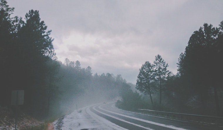
Wednesday, March 4, 2026: Oklahoma City woke up under a blanket of widespread fog and mist, with visibility hovering around 4 miles and temperatures near 46°F. The rest of the day is on track to stay mostly cloudy, with a 50% chance of showers and isolated thunderstorms and a high near 53°F. North winds around 7 to 8 mph will keep things cool and damp through the midday commute.
Afternoon Showers And A Spotty Storm Risk
Scattered showers and a few thunderstorms remain possible from late morning into the afternoon, with the better odds east of the I-44 and I-35 corridors. Most spots are expected to pick up only light rain, with new rainfall amounts generally under one tenth of an inch, but a few stronger cells could briefly drop heavier downpours or small hail. An umbrella will come in handy, and drivers should be ready for wet roads in places.
Bigger Severe Window Thursday Night Into Friday
Forecasters are watching a more focused and potentially higher-impact severe weather window from Thursday evening into Friday. The setup includes a threat for large hail and damaging wind gusts, with a tornado risk that will depend on how much moisture returns late in the week. By Friday afternoon, warm, gusty southwest winds and low humidity across western Oklahoma could combine to create at least elevated fire weather concerns. Check the latest NWS forecast discussion for evolving details and timing.
Commute And Event Tips
For the morning drive, slow down in the fog, use low-beam headlights, and build in a little extra time in case showers reduce visibility or leave splashy spots on the roads. Looking toward Thursday night and Friday, it is smart to have indoor backup plans for outdoor events, secure loose patio furniture ahead of any stronger storms, and keep a weather app or NOAA radio close by if you will be out after dark. Check updated forecasts before hitting the road, since the exact severe risk area could shift as storms develop and organize.


.jpg)