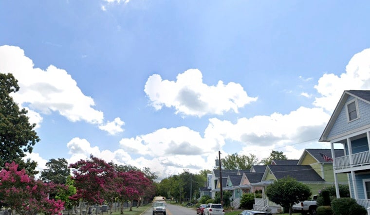
Raleigh started Sunday, April 19, on the mild side, waking up to mostly cloudy skies and temperatures hovering around 70°F at local stations. That comfort will not last all day. A passing cold front is set to knock afternoon temperatures down and kick up a stiff northwest breeze, with a brief shot at light rain between about 11 a.m. and 2 p.m. Highs should top out near 71°F before sliding into the low-to-mid 60s, and northwest gusts could reach about 33 mph from this morning into early afternoon.
Afternoon Gusts And A Glancing Shower
A narrow band of light, mostly stratiform rain may brush the Raleigh area late Sunday morning into early afternoon, but most neighborhoods will only pick up a trace to a few hundredths of an inch. The real headline is the wind. Northwest gusts in the low-to-mid 30 mph range will make it feel several degrees cooler and could easily jostle loose outdoor items. According to the National Weather Service in Raleigh, new rainfall amounts should stay minimal while winds briefly strengthen behind the front.
What It Means For Your Sunday Plans
If you are heading out, plan on a light jacket for the cooler, breezier afternoon and secure anything on the porch or patio that might try to go airborne. A short, light shower could briefly cut visibility during the midday drive, so it is worth building in a little extra time if you will be on the roads between late morning and early afternoon.
Fire Danger Rises And Burn Ban Holds
Drier air and persistent gusty winds on Monday, April 20, will crank up fire danger across central North Carolina and could meet Red Flag criteria in spots if winds and humidity line up just right. A statewide open-burning ban from the N.C. Forest Service remains in effect until further notice, with restrictions that went into effect March 28, 2026. Details are available from the N.C. Forest Service. Under the ban, open burning is prohibited statewide, and violators can face fines along with potential liability for firefighting costs.
Cool Nights, Then A Quick Spring Rebound
Cooler air will really make itself known overnight. Patchy frost is possible late Sunday night into Monday morning in rural northern Piedmont spots. A stronger push of cold air on Tuesday, April 21, could bring frost to much of central North Carolina, with the southern Sandhills and southern Coastal Plain the most likely areas to escape it. Temperatures in the coldest locations should dip into the mid-to-upper 30s overnight and into Tuesday morning.
After that, the pattern turns dry and warmer, with afternoon highs climbing back into the 70s and 80s by midweek. If you have outdoor plans on Monday, April 20, keep an eye on updated National Weather Service forecasts and hold off on any open burning while the statewide ban is in place. This story will be updated if fire weather headlines or local warnings are issued.


