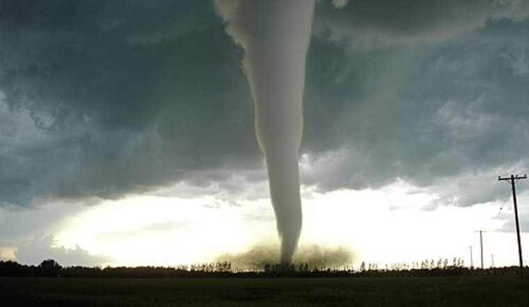
For Oklahomans keeping an eye on the sky, Cleveland County is officially in the crosshairs. A fresh look at decades of storm records finds Cleveland County at the top of the statewide list when tornadoes are measured by density, with about 21 tornadoes per 100 square miles. Oklahoma County and Tulsa County come in close behind. The area surrounding Oklahoma City and much of the Tulsa metro absorbs a large share of the state's recorded twisters, while a cluster of northeastern counties also lands in the top ten. The ranking uses an analysis that adjusts raw tornado counts for county size so it highlights where twisters are relatively concentrated instead of just where there is more land.
What the numbers show
The county rankings come from an analysis reported by The Oklahoman, which drew on long-running tornado records to calculate incidents per 100 square miles. That breakdown puts Cleveland County at roughly 21 tornadoes per 100 square miles, Oklahoma County at about 19, and Tulsa County at about 18. Kay, Rogers, Mayes, Wagoner, Canadian, Pottawatomie and McClain counties also appear in the top ten. Those figures are built from county-segment reports in NOAA's Storm Events Database, the federal government's official record of tornado touchdowns and other severe weather events.
When tornadoes usually strike
Oklahoma's tornado risk runs on a familiar seasonal clock. Most twisters form in spring, with a pronounced peak from April through June and a smaller uptick in October and November, according to the National Weather Service in Norman. Long-term records for the Oklahoma City area show that May and April consistently rank as the busiest months for damaging tornadoes. Those patterns are a big part of why communities across the state treat spring as the prime time for tornado watches, warnings and preparedness drills.
2026: a busy start to the season
So far, 2026 has come out swinging. Reporting that reflects recent National Weather Service investigations notes that Oklahoma tied a January tornado record and had already logged more than 20 tornadoes by mid March. Coverage of those early-season totals was published by Yahoo News, which drew on NWS and state data. That early activity helps explain why county-level density numbers in and around urban centers climb quickly once analysts normalize tornado counts by county area.
Why the map is shifting
Researchers say the geography of tornado-friendly conditions has been slowly on the move. A widely cited analysis in npj Climate and Atmospheric Science found that indicators for tornado-supporting environments have been increasing across parts of the Midwest and Southeast while some areas of the traditional Plains have seen declines. That evolving footprint, paired with urban growth and more complete reporting, helps explain why modern tornado density maps can look different from older maps that relied on raw counts alone.
How to use the list
For homeowners, renters and local planners, the county density ranking is a reminder that tornado exposure is about both the weather and where people choose to live. The National Weather Service offers practical safety guidance, from picking out a safe interior room or community shelter to setting up NOAA Weather Radios and wireless emergency alerts, and those steps apply whether your county tops the list or barely registers. See the National Weather Service for detailed tornado safety guidance. State and federal databases such as NOAA's Storm Events Database supply the raw records that researchers use to build these rankings and keep the historical record current.
For the full county rankings and the methodology behind the per-area calculations, check out the county roundup reported by The Oklahoman. For real-time warnings, shelter locations and what to do when sirens sound, local emergency officials and the National Weather Service remain the go-to sources.


