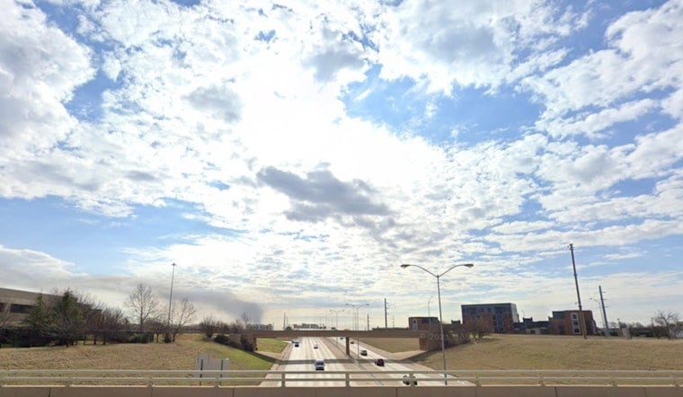
Oklahoma City started Thursday, April 30, 2026, on a crisp, clear note around 52°F, but the blue skies are not sticking around for long. Clouds will fill in through the day with a high near 67°F, making it feel more like a light-jacket day than springtime warm-up. A slight chance of light rain kicks in after about 1 p.m., with east-northeast winds around 6 to 10 mph keeping things on the cool side. For now, central Oklahoma is free of weather watches or warnings.
Afternoon Shower Chances
The National Weather Service in Norman is putting the odds of rain at about 20% after 1 p.m., mainly in the form of light, hit-or-miss showers sliding across the metro. If you are banking on outdoor plans or the evening commute staying dry, you have a decent shot, since most spots will see more clouds than actual rain. Still, a light jacket and maybe an umbrella in the back seat would not be overkill. Winds will hang in from the northeast to east-northeast at roughly 6 to 10 mph this afternoon.
Thursday Night Into Friday
A more organized batch of rain is lined up for Thursday night into Friday as a system crosses northern Mexico and Texas. Forecasters say the main axis of heavier, steadier precipitation should hold south of the Red River and I-40, keeping the Oklahoma City area on the northern edge of the action. Instability looks limited, so severe storms are not on the table, but south-central counties stand a better chance at measurable rain before the system moves out late Friday. Skies are expected to clear Friday night, opening the door for a warmer weekend.
Weekend Warmup And Early-Week Heat
NWS Norman is calling for highs to climb into the 70s by Saturday and close in on 80°F Sunday, with a quick warm-up early next week. Monday, May 4, is forecast to top out near 84°F, followed by a jump to around 88°F on Tuesday, May 5. South-southwesterly winds will pick up speed Monday and Tuesday, so plan on breezy conditions along with a low chance, around 15 to 20%, of late-night showers or storms into next week. Outdoor plans will feel best in the cooler mornings, with afternoons heating up in a hurry.


