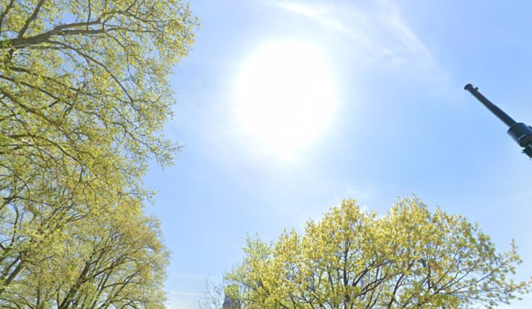
Washington, D.C., is waking up to a mild, mostly clear Thursday, with temperatures hovering near 57°F at Reagan National and similar readings across the region. Sunshine sticks around through the afternoon, pushing highs to about 81°F with a light northwest breeze. Tonight, readings slide back into the upper 50s, comfortable enough for an evening walk without needing a heavy jacket.
The warm run carries into Friday, but the atmosphere starts to get a little moodier. A stalled boundary nearby will help fire up isolated to scattered showers and a few thunderstorms by late day. Today is a green light for outdoor plans, just keep the sunscreen, water bottle and sun hat handy. For Friday, it is wise to have a solid Plan B indoors.
Afternoon Storms Possible Friday
A wavering frontal boundary could kick off spotty showers and thunderstorms Friday afternoon, mainly between 2 p.m. and 5 p.m. The best bet for storms is along that boundary and over higher terrain west of town. Stronger cells could pack brief heavy downpours and gusty winds, with forecasters calling for gusts that may reach around 40 mph.
According to the National Weather Service, the chance of precipitation Friday sits near 40 percent, so anyone planning outdoor events should keep an eye on forecast updates and radar as the day unfolds.
Weekend Cooldown And Rain
Saturday brings a noticeable change of pace as a weak low-pressure system and front move through the area, and temperatures respond accordingly. The high should top out near 66°F, with an 80 percent chance of showers and thunderstorms making for a soggy feel to the day.
Saturday night looks like the wettest stretch of this setup, with on-and-off rain and lows dipping into the upper 40s for many neighborhoods. The pattern fits right in with the warm-then-cool swings we have seen this month; see recent swings for background on how quickly temperatures have been flipping.
Commute And Outdoor Plans
For commuters, Thursday should be mostly routine, aside from the usual slow spots. Friday afternoon thunderstorms and Saturday’s more widespread showers, however, could throw a wrench into travel, slowing surface traffic and bus routes and creating pockets of standing water in low-lying areas.
Drivers and riders should build in a little extra time during the stormier windows and keep tabs on transit alerts. Before heading out, check WMATA service status for any delays or detours tied to weather.
Looking Ahead
Rain chances back off some on Sunday, giving the region at least partial relief from the umbrellas. The pattern stays active into next week, though, with another round of showers and storms possible on Tuesday.
Most spots should return to near-seasonable highs in the upper 60s by Monday, more in line with a typical late April feel. Anyone with travel, sports or outdoor events early next week should continue checking in on updates. For the latest radar and official forecast details, head to the National Weather Service.


