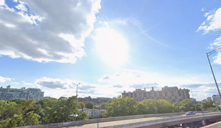
Fog and light drizzle settled over Washington, D.C., early Friday, April 3, 2026, cutting visibility in some low-lying neighborhoods while temperatures hovered in the upper 40s near Reagan National. Low clouds are expected to peel back from southwest to northeast through the morning, giving way to mostly sunny skies by early afternoon. As the sun breaks out, southerly winds will strengthen and gust into the 20s, making it feel noticeably warmer and stirring up choppy conditions on the Potomac.
Afternoon Heat and Wind
Near-record warmth is on tap this afternoon and again on Saturday, with highs around 82°F in the city and the mid-80s possible farther south. The warm surge was first flagged in our April 1 coverage, and the setup has held: a warm front is lifting through, and deep mixing in the atmosphere is helping temperatures climb. Expect south-southwest winds around 5 to 13 mph with gusts up to about 20 to 22 mph. It will feel like an early taste of summer by mid-afternoon, but you may still want a light layer once the sun dips.
Morning Fog and Marine Impacts
Areas of drizzle and patchy fog will linger through mid-morning, briefly trimming visibility on neighborhood streets and near some commuter hubs. On the water, boaters should anticipate choppy conditions this afternoon and evening as those southerly gusts ramp up. Small Craft Advisories are likely for parts of the tidal Potomac and the Chesapeake, so this is a good day to secure loose gear and double-check any marina or operator advisories before casting off.
Sunday Rain and a Sharp Cooldown
A strong cold front is set to sweep through on Sunday, April 5, 2026, bringing a period of steady rain Sunday morning. Many locations could pick up roughly a quarter to a half inch before the front clears. As it passes, winds will flip to the northwest and skies should clear by afternoon, trading the wet start for a brighter but cooler finish. According to the National Weather Service, temperatures will tumble Sunday night into the 30s and 40s, with highs only rebounding into the low 60s by Monday. After the early spring heat, it will feel like a quick step back toward more typical April air.
Plan Ahead
For Friday, the sweet spot is the warmer, drier afternoon window, especially if you have errands or outdoor plans, though you will want to account for gusty winds near the water. Morning commuters should allow a bit of extra time in case patchy fog slows things down. Looking ahead to the weekend, have rain gear ready for Sunday morning and expect a sharp temperature drop after the cold front pushes through. Before you head out, check the latest forecasts along with any local transit or marina alerts so the weather does not catch you off guard.


