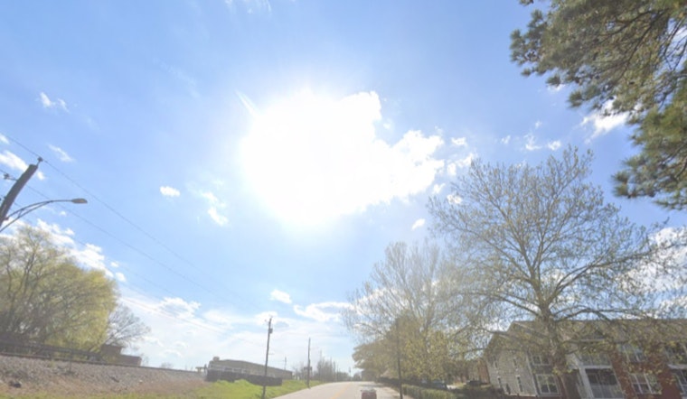
Washington, D.C., woke up cool and hazy on Thursday, April 30, 2026, with temperatures near 54°F and pockets of patchy fog hugging low spots along the I-95 corridor. Northwest winds are expected to pick up through the day, keeping afternoon highs near 68°F but feeling cooler as gusts push up to about 22 mph.
How The Day Shapes Up
After a passing cold front, mostly sunny skies should break through by midday, but the breeze will stick around. Expect steady northwest winds around 9 to 13 mph, with occasional gusts up to about 22 mph this afternoon.
Out on the water, it is not exactly a lazy spring day. Small Craft Advisories are posted through late afternoon, and earlier in the day Coastal Flood Advisories were in effect for Solomons Island, Dahlgren, and Fort McHenry, according to the National Weather Service Baltimore/Washington.
Foggy Morning Commute
The morning commute brings some extra stress for drivers, with pockets of locally dense fog east of the Blue Ridge and along low-lying stretches of I-95. In some spots, visibility could drop to a quarter mile.
Drivers should take it slow: use low beams, leave extra room for stopping, and hold off on nonessential trips until the fog lifts. Riders can check for any delays or disruptions at WMATA service updates before heading out.
Weekend Outlook
Cooler-than-normal air hangs around into the weekend, with a chance of showers from Friday afternoon into Saturday. The coldest nights are expected late Friday into Saturday, when frost or freezing conditions are possible west of the Blue Ridge.
Closer to the city, the immediate D.C. area should stay above freezing but still run cooler than average. A more springlike pattern returns early next week, with a warming trend that could send highs into the upper 70s to around 80°F by Tuesday. Forecasters at the National Weather Service advise gardeners and farmers in higher terrain to protect sensitive plants overnight.


