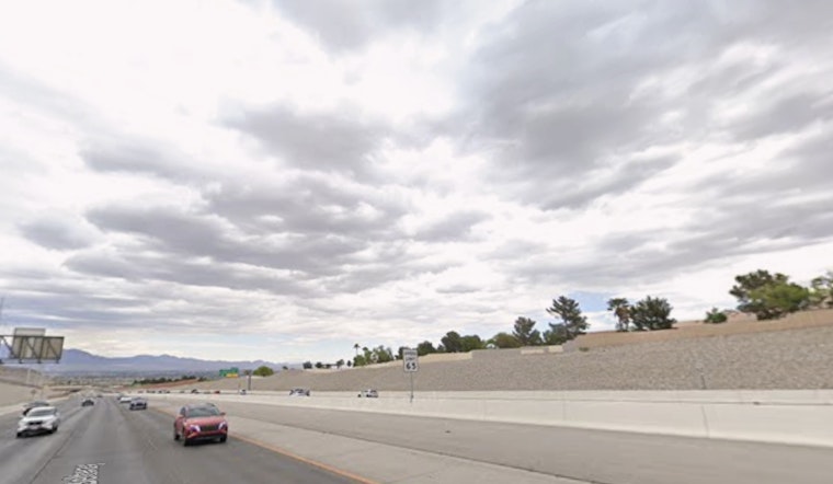
Las Vegas wakes up sunny and breezy today, with a high near 70 on tap this afternoon and a slight shot at some quick-hit showers after 4 p.m., mainly north of Interstate 15. South-southwest winds are expected to gust around 20 mph, just enough to kick a little dust into the day.
Afternoon Showers And Gusts
The sunshine will share the stage later, as a slight chance of rain showers and isolated thunderstorms moves in for the afternoon and evening. The best odds sit north of I-15, with only spotty activity elsewhere. The National Weather Service says precipitation chances are around 20% this afternoon, with south-southwest winds of 6 to 13 mph and gusts up to 20 mph. Another system later in the week could bring more widespread gusts near or above 40 mph; see the full outlook from the National Weather Service Las Vegas.
Tonight
A slight chance of showers hangs on through about 10 p.m., then skies should turn partly cloudy with a low near 51. West winds will ease to 5 to 10 mph overnight, and temperatures are expected to settle in the low 50s by dawn.
Late Week Wind And Warm-Up
Tuesday and Wednesday bring a warmer stretch, with highs climbing into the mid 70s to low 80s before a trough arrives late in the week that could cool things back down. For background on the warm spell and river-area impacts, see Vegas bakes into the 80s. If the trough tracks overhead, forecasters say gusty winds are most likely Thursday and Friday, so boaters and riverfront residents should secure loose items.
Plan outdoor errands for the cooler morning hours and keep an eye on radar if you live north of I-15. Any shower that pops up should be brief, but it could reduce visibility and temporarily kick up the wind. Check the National Weather Service Las Vegas page for updates through the week and report any significant weather to local spotter networks.


