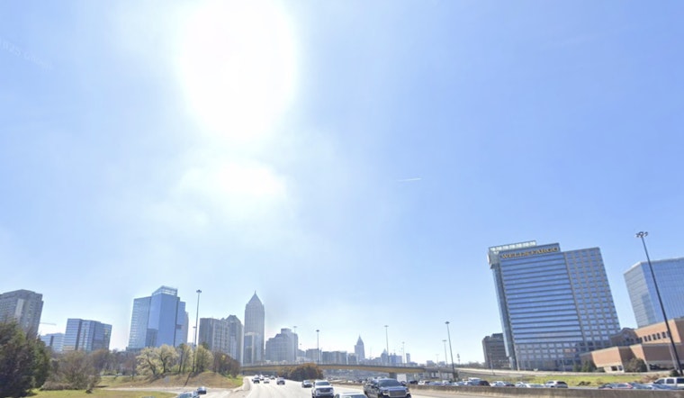
Atlanta woke up to clear skies on Thursday, April 9, 2026, with temperatures near 48°F at Hartsfield-Jackson. Sunshine will quickly take over and push readings into the low 70s by afternoon, while easterly winds around 10 mph with gusts to about 20 mph dry out the air across the metro. That combo is expected to knock relative humidity into the mid-20s for several hours this afternoon and evening, which raises wildfire risk. If you have outdoor chores on the list, plan carefully and skip any open burning while fuels stay this dry.
Fire Danger Spikes This Afternoon
The National Weather Service has issued a Special Weather Statement that flags a few red-flag-adjacent ingredients for north and central Georgia this afternoon. Forecasters warn that relative humidity could fall to 25 percent or less for multiple hours from afternoon into evening, with east-to-southeast winds still gusting around 20 mph. With dry fuels already in place across parts of the region, the agency says those conditions will support a heightened fire danger through this evening. NWS Peachtree City has more details and county-by-county timing of the advisory.
Thinking About Burning? Read This First
If you were planning to burn yard debris or run a small controlled burn, local rules come first. Some burns still require notification or a permit, and unlawful burning can come with suppression fees that sting almost as much as the smoke. The Georgia Forestry Commission posts daily fire danger maps, a public viewer of active incidents, and clear guidance on what does and does not need a permit; you can also call 1-800-GA-TREES for county-specific rules. Georgia Forestry Commission explains the permit process and lays out recommended safety steps.
Warmup Ahead, Rain Still Missing
High pressure will keep the pattern locked on “warm and dry,” with afternoon highs climbing into the upper 70s on Friday and into the mid-80s by Saturday and Sunday. There is little to no chance of meaningful rain through early next week. Forecasters note that this warm, rain-free stretch could worsen ongoing drought and keep fire concerns elevated into next week. Our earlier fire watch breakdown has more background on how this pattern set up.


