St. Louis woke up under low clouds and patchy fog on Wednesday, April 1, 2026, with temperatures hovering around 59°F and a humid mist hanging in the air. That gray start is just the opener for several rounds of showers and thunderstorms through Saturday, with brief heavy downpours likely to slow commutes and cut into outdoor plans.
Showers And Thunderstorms Today
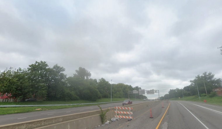
Showers and thunderstorms are expected on and off through the day, with a high near 69°F and northeast winds around 6 to 9 mph. The chance of rain is about 90 percent, and the heaviest bursts are most likely around midday into the afternoon. Drivers should be ready for quick-hitting downpours that cut visibility and slick up the roads during busy travel times. For up-to-the-minute radar and timing details, check the National Weather Service.
Short‑Term Impacts
Storms may arrive in several waves tonight and into Thursday as a slow-moving boundary stalls nearby, and some spots have already reported 1 to 3 inches of rain. Wednesday night could bring wind gusts near 25 mph, with the potential for stronger gusts later in the week. Residents should secure loose outdoor items and keep an eye out for nuisance flooding in low-lying neighborhoods and areas with poor drainage.
Thursday–Friday Conditional Severe Threat
There is a conditional risk for severe thunderstorms Thursday and Friday nights, which means the threat depends heavily on the exact timing of each round of storms and how much the atmosphere can recover between them. If storms manage to organize along the front, damaging winds and brief, localized tornadoes within a line are the main concerns, with small hail also possible. As highlighted in the National Weather Service discussion, residents should be prepared to move to shelter quickly if warnings are issued.
Weekend Outlook
A cold front is expected to sweep through Friday night into Saturday, ushering in drier and cooler air for the second half of the weekend. Sunday looks sunnier with a high near 58°F, and early next week should turn milder again with highs climbing back into the mid to upper 60s. That pattern shift should ease the rainfall threat, although temperatures will likely run a bit below seasonal norms for a few days.
Tips For Commuters
Plan on extra travel time whenever storms are moving through, ease off the gas on wet roads, and do not drive through flooded streets, since brief flash flooding can pop up where storms stall. Keep wireless alerts enabled on your phone and monitor local forecasts through the National Weather Service for any watches or warnings before heading out for evening plans.


