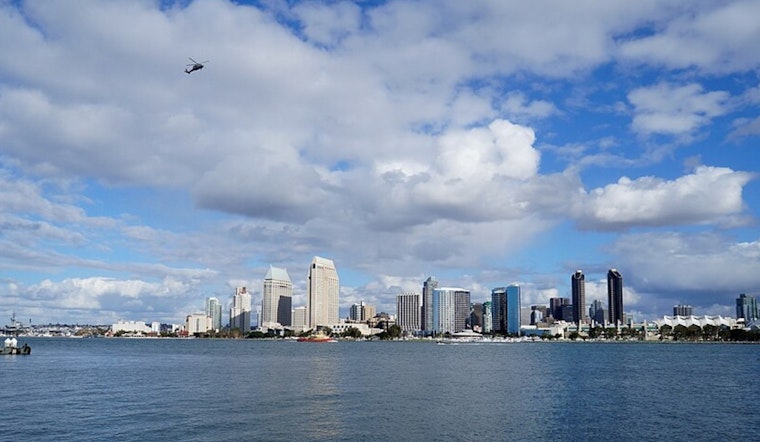
San Diego woke up today to mostly clear skies and a mild 64°F at Lindbergh Field, but the quiet start will not last all day. The coast is set for a fresh round of patchy morning fog before sunshine breaks through, while inland neighborhoods warm up faster into pleasantly mild afternoons near 73°F with light southwest breezes.
Foggy Mornings, Sunny Afternoons
Expect the gray to hug low-lying coastal corridors through the early commute, with patchy fog reducing visibility at times before about 11 AM. Most spots should trade the haze for sun by midday, then see the marine layer build back in overnight and into Wednesday. Highs will hover in the low 70s with light southwest winds, according to the National Weather Service San Diego.
Late-Week Cooldown And Rain Chances
An upper-level low is on track to approach the coast Thursday and Friday, bringing slightly cooler daytime highs and breezier onshore winds late in the week. Forecasters now largely agree that most of the precipitation should arrive on Saturday. They put the odds at roughly 50–70% for at least 0.25 inches of rain along the coast and in the mountains, with lower chances inland, and estimate about a 15% chance of thunderstorms Saturday afternoon, according to the NWS forecast discussion.
Plan Ahead
Drivers along the coast should budget extra time while the fog lingers, and a light layer is a smart choice for morning errands. For Saturday outings, plan on packing rain gear, watching for localized puddling and staying alert for possible lightning. There are no watches or warnings in effect at the moment, per the National Weather Service.


.jpg)