Miami is waking up to a warm, mostly clear Wednesday morning on April 29, with about 72°F and muggy air reported at the airport. A light southeast breeze will strengthen through the day, and plenty of sun is expected to nudge afternoon highs into the low 80s. Beachgoers, however, are looking at choppy surf and an elevated rip-current threat along stretches of the Atlantic coast.
Afternoon Forecast
Skies stay mostly sunny and rain-free this afternoon, with highs near 83°F and sustained southeast winds around 6–10 mph. Inland neighborhoods will likely run a few degrees hotter. Forecasters at the National Weather Service in Miami expect the dry pattern to hold through much of the weekend, before the next frontal system brings higher rain chances late Sunday into early next week.
Smoke West Of The Metro
Smoke from the Highway 41 Fire burning in the northeastern corner of Everglades National Park may trim visibility this morning for communities west of the metro area. The park reported yesterday that the blaze had grown to about 2,500 acres and prompted closures of nearby parking areas, trails and waterways. Motorists are urged to use low-beam headlights and allow extra travel time, according to Everglades National Park.
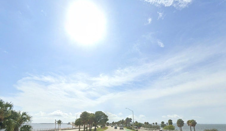
Beach And Marine
A High Rip Current Risk remains posted for many Palm Beach County beaches through Friday evening, and lifeguards are urging swimmers to stick to guarded beaches and respect the warning flags. On the water, small craft should be cautious as onshore winds keep seas choppy, with Atlantic waves around 2–4 ft and pockets of higher surf near the main swell axis.
If you are caught in a rip current, do not try to swim directly against it. Instead, swim parallel to the shoreline to get out of the current, then angle back toward the beach, and signal for help if you need it.
Weekend Outlook
Temperatures climb a bit heading into the weekend, with highs in the mid-80s Thursday and Saturday, and some inland spots possibly pushing into the upper 80s. Saturday could also bring coastal wind gusts near 20 mph. Rain chances stay low through Saturday, but forecast models bring a frontal boundary into the picture Sunday into Monday, with increasing chances of showers and thunderstorms and the best shot at storms Sunday afternoon. Anyone planning time on the water late in the weekend should keep plans flexible and check updated forecasts before heading out.


