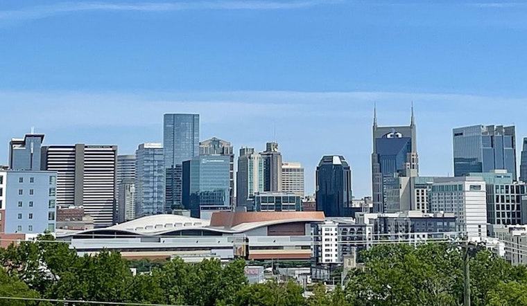
Tuesday kicked off crystal clear in Nashville, with temperatures hovering around 45°F at Nashville International Airport and plenty of blue sky overhead. Forecasters expect sunshine and dry air to stick around through the day, with a high near 67°F and a light northeast breeze of 5 to 10 mph this afternoon. It is a jacket morning, but you will probably be carrying that extra layer by lunchtime.
Dry Week And Drought Risk
Rain is basically off the board through early next week, and that extended dry spell is likely to expand short-term drought conditions across Middle Tennessee. Nashville has seen just 0.85 inches of rain so far this month and 8.75 inches for the year, which is about five inches below normal, according to WSMV. Gardeners and anyone planning outdoor events should think about watering in the cooler early morning or evening hours, and keep a lookout for any local watering restrictions.
Warming Through The Week
Temperatures will steadily climb starting Wednesday, with afternoon highs near 76°F midweek and then pushing into the upper 70s to around 80°F by Friday. The real warmth arrives this weekend, when highs are forecast to reach the mid to upper 80s, with near-record values possible, according to the National Weather Service Nashville. A ridge parked over the region is expected to keep meaningful rain chances on hold until early next week.
Afternoon Sun And Light Breeze
Sunny afternoons will make outdoor plans an easy yes, with northeast winds of 5 to 10 mph today and occasional gusts that could reach into the mid-teens later in the day. Local terminals are expected to hold VFR conditions for most of the period, and the aviation discussion flags the potential for some stronger gusts late this afternoon. If you are spending time outside, grab sunglasses, drink plenty of water, and schedule lawn and garden watering for the coolest parts of the day to help hang on to every bit of moisture.


