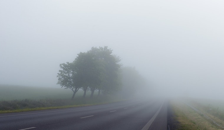
Oklahoma City is getting a little preview of summer before spring shows its teeth. As of 5:35 a.m. CDT Thursday, April 16, 2026, skies were cloudy, temps sat in the mid 60s, and patchy fog lingered around the metro. That fog should clear by mid morning, setting the stage for a hot, breezy afternoon that could make the drive home feel more like June than April.
Foggy Start, Summerlike Finish
Patchy fog is expected before 10 a.m., then skies should turn mostly sunny with a high near 86°F this afternoon. South southwest winds of 8 to 14 mph, with gusts near 21 mph, will crank up through the day and could put a dent in any late afternoon outdoor plans, according to NWS Norman.
Severe Storms Possible Friday Into Friday Night
Friday is the plot twist. As a front teams up with stronger upper level energy, a chance of showers and thunderstorms develops after 1 p.m., with storms becoming more likely and some possibly severe through the afternoon and into the overnight hours. Forecasters say the main hazards are damaging straight line winds, very large hail, and a tornado threat in any discrete supercells. Storms could organize into a damaging squall line Friday evening.
Residents are urged to track the outlook from the Storm Prediction Center and keep an eye on local watches Friday. Have a plan to move indoors quickly if warnings are issued.
Fire Weather Risk West
Out west, the worry is not rain but fire. Dry air and increasing southwest winds will produce near critical to critical fire weather conditions across parts of western Oklahoma this afternoon into the evening, and a Red Flag Warning covers portions of western counties today. Low humidity and gusty winds can make any outdoor burn spread quickly, so avoid open flames and secure yard debris where gusts are expected, as noted by NWS Norman. A rapid wind shift expected Friday night will complicate firefighting efforts in rural areas, so residents should be extra cautious.
Cooler Weekend With A Possible Freeze
The weekend flips the script again. Gusty northerly winds on Saturday will push cooler air across the region, with highs near 64°F and a clear, chilly night dropping into the low 40s. Parts of western and northern Oklahoma could see temperatures dip to freezing Sunday morning, so protect tender plants and outdoor pets if you are on the rural edges of the metro. Sunday looks sunnier, with highs returning to the low 70s as southerly flow resumes.
How To Prepare
Today, secure outdoor furniture that could blow around in increasing winds and avoid burning in areas under Red Flag conditions. Keep a battery powered radio or charged phone handy so you can receive any watches or warnings.
If you have outdoor plans Friday afternoon or night, build in a quick escape route indoors. Severe storms can produce large hail and damaging winds with little notice. For the latest watches and warnings, check the Storm Prediction Center before heading out.


.jpg)