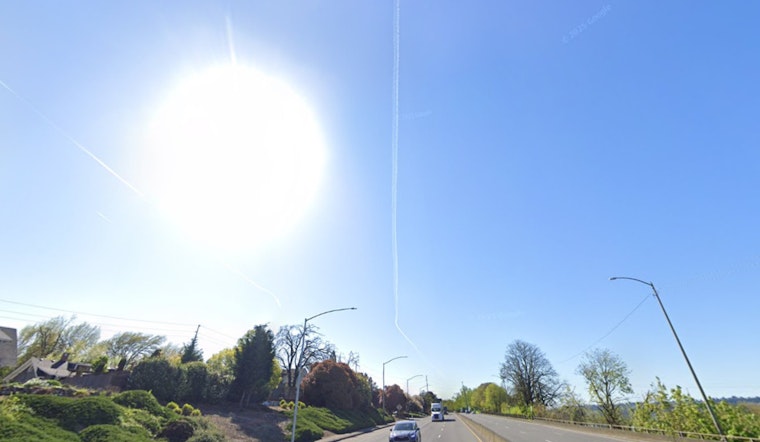
Portland is finally drying out after that midweek blast of rain and heavy mountain snow, trading gray skies for a brighter Thursday on April 16, 2026. Morning readings are sitting in the upper 30s, and the afternoon is expected to turn mostly sunny with a high near 58°F and a light southwest breeze around 5 mph.
Tonight's Frost Risk
The tradeoff for clear skies and calmer winds tonight is a solid shot at frost, along with pockets of sub-freezing air in sheltered valleys. A Frost Advisory is in effect through 9 a.m. PDT this morning, and the National Weather Service has also posted a Freeze Watch for late tonight into Friday morning for the Upper Hood River Valley and the Cascade foothills of Marion, Linn and Lane counties, according to NWS Portland.
Afternoon Commute
Your midday and afternoon drive should be about as easy as Portland traffic gets: dry roads, sunshine and temperatures climbing into the upper 50s. The only catch comes Friday at daybreak, when drivers in low-lying neighborhoods may still wake up to patchy frost on windshields, so it is worth building in a few extra minutes before heading out.
Weekend Outlook
High pressure builds Friday into Saturday, nudging highs into the low 60s on Friday and near 70°F on Saturday; a chance of evening showers returns after 5 p.m. Saturday, and rain chances increase Sunday into early next week as the pattern turns more unsettled. For more background on the setup that brought the recent soaking and mountain snow, see the midweek soaker.
For Gardeners And Early Commuters
Gardeners will want to baby their plants tonight. Cover tender vegetation or move pots indoors where you can, with valleys and sheltered spots most at risk for the coldest readings. If you are out the door early Friday, allow a little extra time to scrape frost from windows and keep an eye out for slick patches on untreated surfaces.


