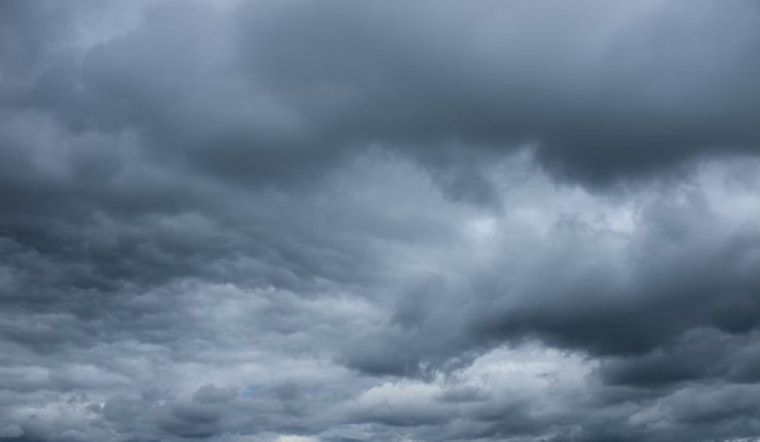
Cloudy and cool is the story in Portland this morning, with PDX hovering near 46°F and a steady southerly breeze already in play. The calm is temporary, though, as rain moves in later today and threatens to turn the afternoon commute into a slower, wetter trip home.
Rain Moves In This Morning
Showers will ramp up through the late morning, with steady rain likely after 10 a.m. on Tuesday, April 14, 2026. Highs will top out near 54°F before conditions ease later in the afternoon. Around the metro area, rainfall totals through the day are expected to land between a quarter and a half inch, with heavier pockets where stronger bands set up.
Afternoon Gusts Could Make Commutes Slow
By afternoon, south-southwest winds pick up to around 6 to 15 mph, with gusts reaching about 25 to 30 mph. Those stronger gusts could knock visibility down on bridges and exposed ramps. High-profile vehicles and cyclists should take it easy, allow extra stopping distance, and plan on longer drive times.
Cascades Turning White; Winter Storm Warning In Effect
The Cascades are lined up for the roughest weather, with roughly 10 to 22 inches of snow expected above about 3,500 to 4,000 feet and snow levels briefly dipping lower overnight into Wednesday morning. A Winter Storm Warning is in effect from 5 p.m. Tuesday, April 14, 2026, through 5 a.m. Thursday, April 16, 2026. Heavy bands on Wednesday morning, roughly from 4 to 10 a.m., could drop quick and dangerous accumulations, according to the National Weather Service Portland.
Check Mountain Passes Before You Go
If you plan to head over the Cascades, check real-time road cameras and chain restrictions before leaving, since pass travel could require traction devices or come with delays. The Oregon Department of Transportation’s TripCheck site has live cams and current highway status. Have an alternate route ready and consider postponing nonessential trips during the heaviest snow on Wednesday morning.
Boaters Should Expect Rough Seas
Small Craft Advisories are in effect for the coastal waters and the Columbia River Bar, with southwest gusts near 30 knots and seas building to 7 to 10 feet. There is a 30 to 50 percent chance of brief, marginal gale-force gusts this afternoon. Mariners and recreational boaters should avoid exposed waters during the strongest winds and be prepared for steep, choppy seas through Tuesday night.
What To Expect Through The Week
Showers and a slight chance of thunderstorms hang on through Wednesday, April 15, 2026, before conditions turn drier and cooler later in the week. Overnight lows on Thursday and Friday may dip into the mid 30s in some lowland spots, which raises the risk of frost. Protect sensitive plants and keep an eye out for slick patches on untreated surfaces overnight.


