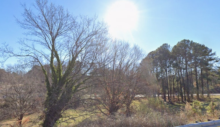
Raleigh woke up Monday, April 20, 2026, to clear skies, crisp air and temperatures parked in the low 40s, with a fast warmup on deck. Highs are expected to climb to around 70°F by late afternoon, but gusty west winds and very low humidity will leave the day feeling drier and breezier than the calendar would suggest. That combo has triggered hazard messaging and a Frost Advisory for some inland spots early Tuesday, so gardeners and anyone eyeing outdoor burning should stay locked in.
Afternoon Winds Pick Up
Mostly sunny skies will be paired with increasing westerly winds through Monday afternoon. Forecast highs near 70°F come with west winds around 2 to 12 mph and gusts up to 29 mph. The National Weather Service is also flagging frequent gusts in the 20 to 30 mph range with occasional peaks near 35 mph across the northern Piedmont and northern Coastal Plain. That means a breezy commute and a bad day for unsecured decor, so it is a good time to weigh down or stow lightweight patio furniture and trash cans, according to NWS Raleigh.
State Burn Ban And Fire Danger
Dry air is set to push relative humidity into the mid-teens to mid-20s this afternoon, leaving grasses and leaf litter ready to ignite. Paired with those gusty winds, wildfire risk jumps. A statewide burn ban remains in effect, and residents are urged to avoid open burning and use extra caution with any equipment that might throw sparks. Violating the ban is illegal and can stretch firefighting resources thin, so skip bonfires, brush piles and outdoor burn barrels while the ban holds, per the N.C. Forest Service.
Frost Tuesday Morning And The Week Ahead
A Frost Advisory is posted for parts of the northern Piedmont in the pre-dawn hours of Tuesday, April 21, 2026, with lows expected to slip into the lower to mid 30s in the usual chill-prone spots. Those readings are cold enough to damage sensitive outdoor plants, so it is a good idea to bring potted or tender vegetation inside or cover beds overnight. Temperatures bounce back quickly after the advisory period. Tuesday should top out in the upper 60s to around 69°F, followed by a sharp warmup into the 80s by Wednesday and Thursday and only a small chance of showers late this weekend, according to NWS Raleigh.
For the next 48 hours, the practical playbook is simple: cover or move vulnerable plants, postpone any yard burning and avoid running spark-producing equipment over dry grass. Check forecasts again before evening plans and keep an eye on local officials for burn-ban enforcement updates. We will update if conditions change.


