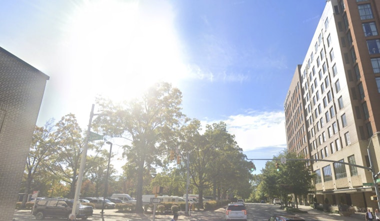
Raleigh residents woke up Tuesday to a frosty surprise in the chilliest corners of the city, with temperatures dipping into the low 30s before the sun got to work. The ice-cold start is short-lived, though. Clear skies this morning will open up into a bright, sunny afternoon with highs near 70°F, before a quick midweek flip into much warmer and breezier conditions. By Wednesday and Thursday, temperatures are expected to climb into the 80s, and officials are already flagging wildfire concerns as the air turns dry and gusty.
Frost Advisory This Morning
A Frost Advisory is in effect until 8 a.m. Tuesday for parts of the northern Piedmont and adjacent Coastal Plain, where frost can damage tender outdoor plants. Gardeners are urged to bring potted plants inside or cover vulnerable beds, according to the National Weather Service. The same forecast discussion points to a sharp warmup by midweek, with highs jumping into the mid-80s and southwest winds gusting into the mid-20s mph on Wednesday, conditions that could dry out fuels and bump up the fire risk.
Fire Risk And What To Do
Dry air paired with gusty winds is expected to create increased fire danger on Wednesday. The state’s burn ban is still in place, so outdoor burning and spark-producing work should be put on hold, per the N.C. Department of Agriculture. For everyday planning, officials recommend securing lightweight patio furniture, skipping any mowing over dry grass, and delaying bonfires or brush burns until conditions ease up.
Quick Forecast Snapshot
Today: Sunny and breezy with a high near 70°F. Tonight: Mostly clear with a low around 47°F. Wednesday and Thursday: Unseasonably warm with highs in the mid-80s and afternoon gusts possible. A few storms are possible from Saturday afternoon into Sunday, with cooler, more typical temperatures returning by early next week.


