Boston woke up to a chilly, gloomy start Wednesday, with Logan Airport sitting at roughly 39°F and scattered rain showers sliding through after about 7 a.m. The rest of the day looks mostly cloudy with on and off light showers and several dry breaks, and a high near 45°F. A south wind around 9 to 13 mph will make the harbor feel especially raw whenever those showers roll through.
What To Expect Today
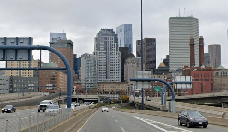
Rain will be more nuisance than washout. Showers should be spotty and brief, with the overall chance of precipitation around 40 percent and new rainfall totals generally under a tenth of an inch. Drivers can expect some slick patches during the heavier bursts and occasional dips in visibility, especially on bridges. A light waterproof layer is your friend today, according to the National Weather Service.
Commuter And Airport Notes
Your morning commute should be mostly manageable, with just a few damp stretches to navigate. MBTA riders, however, get a different kind of headache. Green Line B-branch service between Kenmore and Boston College is suspended from April 22 to 30, with shuttle buses filling the gap. Logan (KBOS) should see mostly VFR ceilings with passing showers this morning, but ceilings are expected to drop to MVFR or IFR overnight, so checking flight times and airport shuttles before heading out is a smart move. Service suspension details are posted by the city on Boston.gov.
Thursday Turnaround
Thursday brings a noticeable reset. Highs climb to around 58°F with partly sunny skies, although a cold front may spark a few isolated afternoon showers across eastern Massachusetts and Rhode Island. By late day, winds swing around to the northwest and pick up, with gusts expected to reach 20 to 25 mph. That will take some of the warmth out of the air and could toss around any unsecured lawn chairs. The mix of lower humidity and gusty northwest breeze will briefly raise fire-weather concerns in some inland areas, though officials still consider conditions borderline.
Weekend Outlook
High pressure and an onshore flow settle in from Friday into the weekend, bringing drier air and keeping temperatures generally in the low to mid 50s around the city. Coastal neighborhoods may run a few degrees cooler. Expect mainly dry conditions and lighter winds through Sunday, with a slow warming trend into early next week. If you are eyeing outdoor plans, Saturday and Sunday still look like the most comfortable bets.


