Cloudy and mild at San Diego International this morning, sitting at about 63°F as of 5:35 a.m. Friday, April 10, 2026, but do not get too attached to that mellow vibe. A weekend cooling trend, gusty west to southwest winds and a growing chance of rain late Saturday into Sunday could complicate mountain travel and outdoor plans. Look for patchy coastal fog early, partial sun inland by midday and cooler afternoons as the marine layer thickens.
Afternoon Temperatures and Timing
Today should still feel relatively pleasant, with highs near 72°F and light west winds that may gust to around 20 mph in the afternoon. A chance of spotty rain showers develops late tonight after about 11 p.m., with lows near 60°F and only minor totals at first, so most daytime plans stay dry. According to the NWS San Diego, the marine layer will deepen through the weekend and keep mornings gray along the coast.
Chance Of Rain Late Saturday Into Sunday
A second low moves in late Saturday night into Sunday, bringing the best chance of showers and a slight risk of thunderstorms Sunday afternoon. Rainfall totals may reach a few tenths of an inch near the coast and up to a half inch in parts of the mountains. Snow levels hang around 6,500 to 7,000 feet Saturday, then dip toward 6,000 feet Sunday, so high country trips could see a brief shot of light snow. For earlier background on this incoming pattern and planning tips, see our recent Hoodline update on how San Diego dumps morning gloom.
Winds And Travel Impacts
Winds are the main headline here. Gusts to 35 to 45 mph are possible in the mountains and deserts today, with stronger gusts of 40 to 50 mph expected Saturday and Sunday and occasional 60+ mph bursts on favored lower desert slopes. Those kinds of gusts can turn canyon roads and high profile vehicle trips into a white knuckle experience, so secure patio furniture, loose signs and anything else that might take flight, and avoid unnecessary travel through exposed passes during the peak wind periods. The NWS San Diego also flags choppy seas and periods of stronger winds for mariners, especially on Sunday.
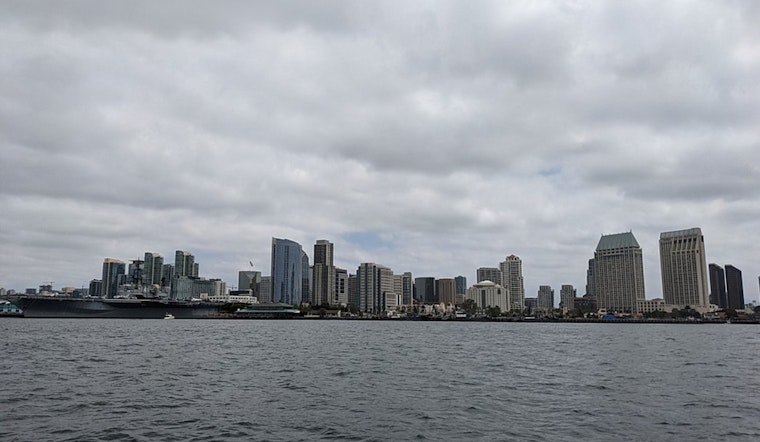
Commuter And Marine Notes
Patchy coastal fog should lift by late morning into the afternoon before rebuilding overnight, which means lower visibility for early coastal commutes and clearer afternoons inland. On the water, mariners should plan for choppy seas and bouts of stronger northwest winds Sunday. Spotters are encouraged to report significant conditions, even though no Skywarn activation has been requested. Check forecasts before heading into the mountains or out on the water and give yourself extra travel time if conditions look gusty or wet.


