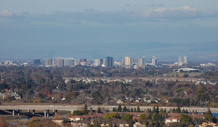
San Jose rolled in today under clear skies and a crisp 48°F at Mineta San José International Airport, but the cool start will not last long. A quick warmup is on tap, with inland neighborhoods expected to climb into the upper 70s to about 80°F this afternoon, while coastal spots hang several degrees cooler. Light early winds should turn into a west-northwest breeze later in the day, making mid-afternoon the prime time for anyone trying to squeeze in outdoor plans.
Afternoon Heat, Quiet Weekend
Mostly sunny skies prevail today, with a high near 80°F and light, inland breezes (WNW 1–7 mph). Temperatures may ease off a few degrees by late afternoon. Clouds creep back in Saturday night, with mostly cloudy skies and lows around 49°F.
Tomorrow looks like a mild transition day. Expect partly sunny skies and highs near 77°F. If you are planning to be outside, morning and evening will feel more comfortable, while the afternoon will still be warm, though a touch cooler than Saturday.
Rain And Thunder Return Early Next Week
From tomorrow into Monday, the pattern flips as onshore flow returns, and the National Weather Service is already eyeing the change. There is a slight chance of showers tomorrow night, followed by roughly a 50% chance of rain showers on Monday. New rainfall totals are expected to range from a tenth to a quarter of an inch for most areas.
Showers could become steadier next Monday night into Tuesday as the system slows, boosting the risk of thunderstorms and heavier downpours, especially across the hills and inland valleys. Next Tuesday’s high is forecast to reach the mid-60s. With the system moving slowly, repeated pockets of rain and localized ponding are possible early next week, so updated forecasts will be worth a look.
Impacts And Tips
Take advantage of today’s warm, dry window, but keep plans flexible starting next Monday. Roads can turn slick when the first rain hits after a dry spell, and any heavier showers could cut visibility during the commute.


