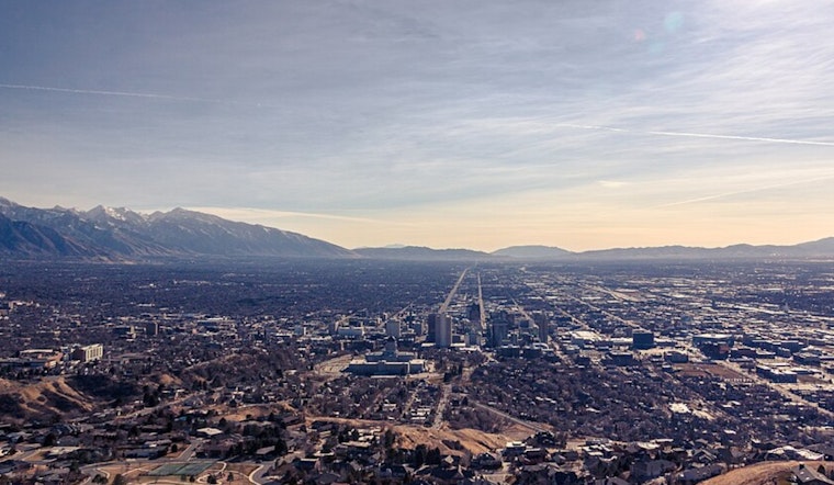
Wednesday, April 1- Salt Lake City rolled out of bed to light rain, about 48°F, and very high humidity, which is pretty much the full "you are definitely getting wet" package. Roads are already slick, so the morning commute will likely move more slowly than usual as steady showers hang on through the early hours. Up in the mountains, the precipitation is heavier, and canyon travel could be sluggish and demand extra caution.
Showers And Thunderstorms Rolling Through Wednesday
Rain showers are expected to stick around into the morning, with showers and thunderstorms likely between about 9 a.m. and 3 p.m. on Wednesday, April 1, and a high near 60°F. According to the National Weather Service, valley rain totals should stay on the lighter side, but higher elevations above roughly 8,000 feet could snag several inches of snow, and a Winter Weather Advisory covers parts of the mountains through noon Wednesday. Brief heavy downpours could flare up at times and quickly cut visibility on surface streets.
What It Means For Roads And Flights
Salt Lake City International may see stretches of lower clouds and reduced visibility this morning, which could trigger flight delays along with some occasional gusty, erratic winds. On the ground, drivers should watch for slick pavement and localized ponding. The Utah Department of Transportation is urging travelers to keep tabs on 511 and the UDOT Traffic feed for live road conditions and canyon advisories. If you are heading into the canyons, build in extra time and be ready for conditions to flip quickly.
Colder System Thursday, Frost Risk By Friday
A colder storm system moves in on Thursday, April 2, bringing gusty winds and the potential for snow to dip into lower mountain elevations and a few isolated valley pockets early Friday. Temperatures will drop behind the front, and widespread freezing conditions are likely on Friday and Saturday mornings. That could spell trouble for early-season crops and tender plants, so gardeners and growers should plan. Lake-effect snow near the Great Salt Lake could also whip up some localized slick spots Friday morning.
Bottom line: carry a rain jacket today, give yourself extra travel time, and check the National Weather Service and UDOT updates before you head out. For more background on this wet pattern, see Salt Lake wakes to sunshine, as per Hoodline.


.jpg)