Early Thursday morning, April 9, Miami was already feeling swampy, with clouds hanging low and the temperature sitting near 72°F at 4:53 a.m. A band of unsettled weather is moving through and setting up a soggy stretch: showers and thunderstorms are likely across the metro, and some could bring locally heavy downpours. Northeast winds are already brisk and are expected to gust into the mid 20s, leaving the nearshore Atlantic churned up and rough. Where storms repeatedly pass over the same spots, pockets of urban and poor-drainage flooding are likely.
Afternoon Showers And Thunderstorms
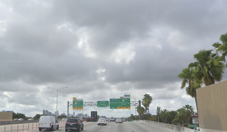
Thursday, April 9, is shaping up as the main rain day, with a high near 77°F and about a 60% chance of showers and thunderstorms during the daytime hours. Any storm that pops could drop heavy rain, and the forecast calls for 1 to 2 inches across many neighborhoods, with localized higher totals that could lead to standing water and slowdowns for commuters, according to the National Weather Service in Miami.
Beach And Marine Hazards
A Rip Current Statement issued early Thursday warns that dangerous rip currents will affect coastal Broward and Miami-Dade beaches through Saturday evening, April 11. Strong onshore flow and an elevated swell will keep the surf choppy and make swimming hazardous. Small Craft Advisories and a High Surf Advisory remain in effect for parts of the Atlantic coast. For background, see the midweek soaker that swamped streets and ripped up the surf.
What To Expect Friday Into The Weekend
By Friday, the front is expected to sag south and allow drier air to filter in, which will lower storm chances even as breezy northeast winds hang on. High temperatures should hold in the upper 70s to around 80 through early next week, while the persistent east wind keeps seas choppy near the coast.
Plan Ahead
If you have outdoor plans, pencil in a wet window Thursday afternoon and early evening and build in extra travel time in case downpours slow traffic. Beachgoers should stick to lifeguarded areas, follow posted flags, and stay out of the water while the High Rip Current Risk remains in effect.


