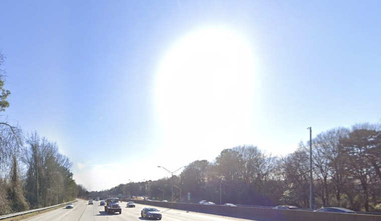
Metro Atlanta is waking up to comfortable mid-60s and clear skies this Friday morning, but the pleasant start is not sticking around for long. Forecasters expect a rapid warm-up on April 17, 2026, with sunshine pushing afternoon highs close to 90°F, drying out the air and ramping up fire danger across much of the metro by late day.
Afternoon Heat and Record Threat
Temperatures are forecast to soar into the upper 80s to around 90°F this afternoon, April 17, with some neighborhoods likely nudging into the low 90s. Overnight will not offer much relief either, with lows holding in the low to mid-60s. Light winds today are expected to transition to a breezier southwest flow on Saturday, April 18, but today remains the hottest and driest stretch of the period.
Forecasters say these mid-April highs could threaten daily temperature records, with a warm ridge aloft keeping readings well above what is typical for this time of year, according to the NWS Peachtree City.
Fire Danger and Outdoor Burning
A Fire Danger Statement is in effect for Friday afternoon and evening, April 17, as relative humidity is expected to drop into the 20 to 30 percent range for several hours while fine fuels remain very dry. With west to northwest winds of about 4 to 7 mph and gustier conditions expected later this weekend, officials caution that even small sparks from grills, yard debris burns, or equipment have an elevated chance of spreading.
Residents are urged to check their county burn permits and delay any controlled burns while the statement is active. For background on the ongoing dryness and recent fire alerts, see our earlier coverage of bone-dry heat and fire watches.
Weekend Rain Chance
A cold front is expected to move through late Saturday into Sunday, bringing a chance of showers and a few gusty downpours from overnight Saturday, April 18, into Sunday morning, April 19. Most spots are likely to pick up only light rainfall, roughly a quarter inch or less, which means the front is unlikely to put an end to the drought.
Behind the front, temperatures take a noticeable dip on Sunday, April 19, with highs falling back into the upper 60s and lows dropping into the 40s by Sunday night. The latest timing and rainfall projections are reflected in updated guidance from the NWS Peachtree City.


