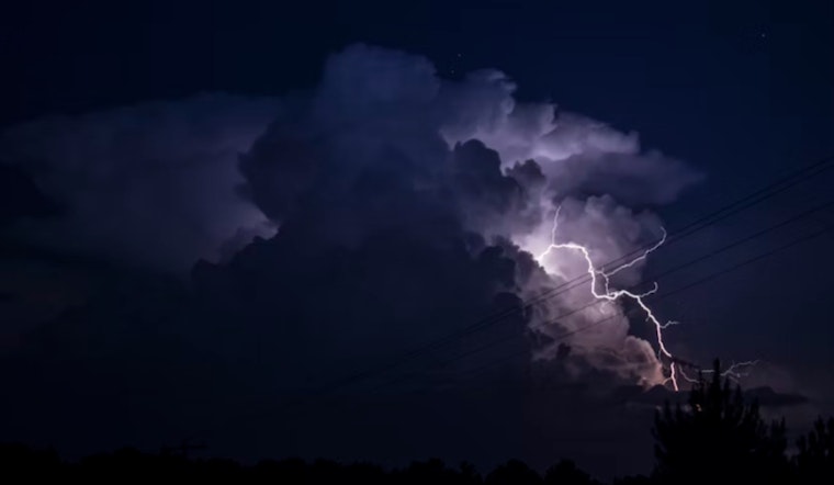
A slow-moving spring storm turned into an afternoon headache for parts of rural Tehama County on Tuesday, as a National Weather Service severe thunderstorm warning flagged a nearly stationary cell capable of dropping quarter-sized hail and damaging vehicles. The alert covered communities around Paskenta, including Flournoy, Rancho Tehama Reserve and Black Butte Summit, and stretched into the late afternoon while officials urged people to head indoors and stay off the roads during hail and lightning.
According to The Sacramento Bee, the National Weather Service issued an updated warning at about 3:41 p.m., noting that "a severe thunderstorm was located over Paskenta, or 18 miles north of Elk Creek, and is nearly stationary." Forecasters warned the storm could produce quarter-sized hail, roughly 1 inch across, and that "damage to vehicles is expected." The alert was posted in weather products to remain in effect until 4 p.m.
Where the storm was tracking
Radar imagery and National Weather Service bulletins pinned the strongest part of the storm directly over Paskenta, putting south-central Tehama County at the highest risk for hail and gusty winds. The NWS product for the Red Bluff area listed quarter-size hail and radar-indicated wind threats, and warned that vehicle damage was likely, per a National Weather Service bulletin. Rural roads and nearby farm operations in those corridors can be especially vulnerable when hail piles up and visibility suddenly drops.
Safety and what to do
The National Weather Service advised residents, "For your protection move to an interior room on the lowest floor of a building," the standard severe-storm playbook that still holds up when hail is flying. Drivers in the warning area were urged to slow down, avoid flooded or slick stretches and pull over safely if hail or lightning cuts visibility. Officials also recommend waiting at least 30 minutes after the last clap of thunder before heading back outside, a routine bit of guidance meant to cut down on lightning injuries and hail damage.
This burst of severe weather is tied to a broader spring system bringing valley rain and heavy Sierra snow through midweek, with forecasters calling for more scattered thunderstorms and gusty winds later in the week, according to KCRA. Residents around Tehama County and the wider Sacramento region are being urged to keep tabs on local watches and warnings and to follow county emergency channels for any new updates.


